

Plessenberg

Description
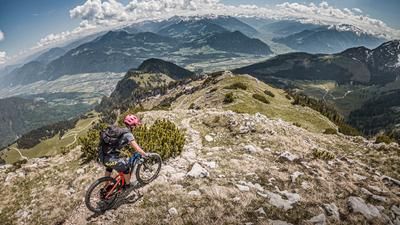
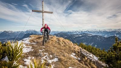
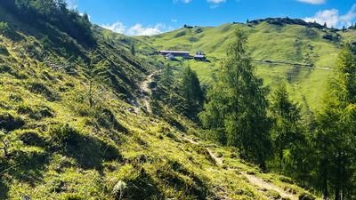
The tour starts in Breitenbach am Inn. From here, the route follows asphalt through various hamlets towards Jocher Kapelle. From the Antner Chapel, you pedal on gravel up the 19a path to the pump house at the parking lot. The last few meters here are briefly on a trail and are somewhat selective to ride, but easily doable. The route then continues relaxed to the Jocheralm on a forest road, before pedalling comes to an end at just under 1600 meters above sea level. Only a few sections of the 19er hiking trail to the Plessenberg summit are still rideable, the rest must be completed by pushing or carrying. The summit is topographically very well embedded in the middle of the Brandenberg Alps and invites you to linger. The view from the Kaiser Mountains, Kitzbühel Alps, Zillertal Alps to the Hohe Tauern with Grossglockner and Gross Venediger makes up for any exertion.
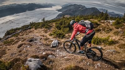
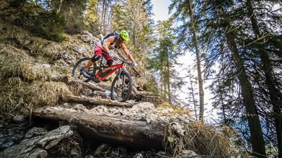
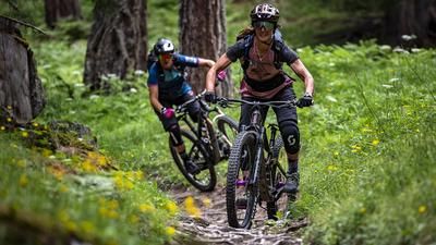
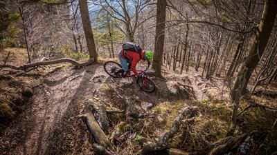
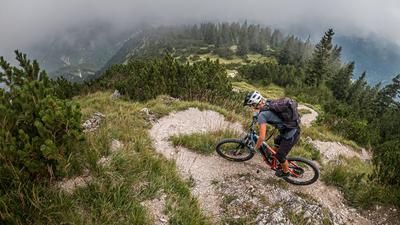
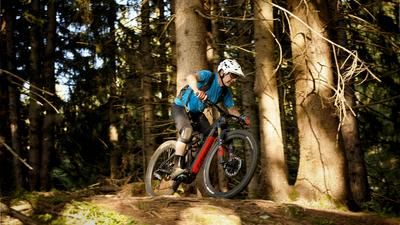
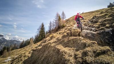
At the summit, you should recharge your batteries for the descent. The single trail is not really difficult at first. At difficulty level S2, occasionally S3, it continues in this manner to the Jocheralm. From the Jocheralm, the difficulty increases almost continuously from S2 to S3 and leads down to the Pumphaus (parking lot). The route then becomes selective once again and the 19er hiking trail winds its way past the Jocher chapel back to the center of Breitenbach am Inn. Only shortly before Mühlbach, where the hiking trail joins the asphalt road, does the difficulty of the S2/S3 single trail decrease and finally leads through the forest at S1 level.
Note: The route is located on Austrian territory and leads over routes that are not approved for mountain bikers. Riding this route on a mountain bike is the responsibility of each individual, in full awareness of the legal situation.
Map & GPX-Track
The map is only available to Ride subscribers.
The Ride-Subscription is available at ride-mtb.com/abo
.
Details of the tour
22 km
1185 m
1185 m
508 above sea level
1689 above sea level
1 day
Breitenbach am Inn
Breitenbach am Inn
2639
limited
More information
More tours nearby









User comments (0)

About the author: Martin Depauli
Note: This content has been automatically translated from German. Please report any incorrect translations.