

Veitsberg

Description
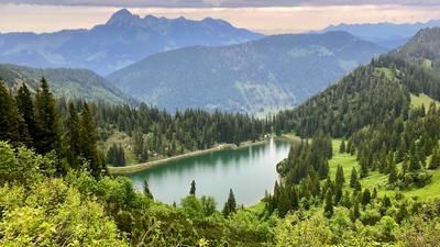
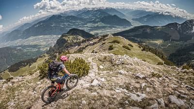
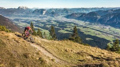
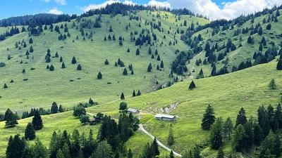
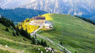
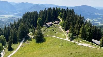
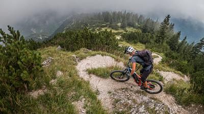
The starting point of the tour is the village of Landl in Hinterthiersee. From here, you briefly follow the official cycle path towards Ursprungpass and then turn left onto a gravel path through the forest, which rides steadily uphill to the high plateau and the hamlet of Riedenberg. Here you pedal through idyllic beech and spruce forests and cross the entire front section of the Frechjoch to the Thaleralm. The uphill includes a short downhill on gravel, which is technical in terms of elevation gain. At the Thaleralm, there is already a magnificent view of the main Alpine ridge, the Hohe Tauern, the Kitzbühel Alps and the Karwendel mountains. Here you take your bike on your back and push it towards Frechjoch. The first trail starts from Frechjoch, which can be classified as very challenging and is between S3 and S4. This is followed by a short pushing section up to the Veitsberg at 1787 m above sea level, the highest point of the tour. The mountain itself is gentle and offers enough space for an inviting summit rest.
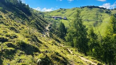
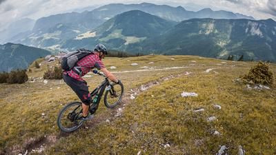
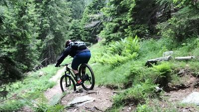
The descent begins from the summit itself along the yoke, classified as S2. You then cross hairpin bends with difficulties between S2 and S3, some of which are somewhat washed out and broken off. The trail then stabilizes again and offers a southern flair with a difficulty of S2. Passing the Riedebenalm, the route continues towards Riedenberg, sometimes challenging and somewhat overgrown. The idyllic beech forests are a feast for the eyes, especially in the fall. At Riedenberg, the route rides above the Glemmbachklamm gorge along a varied high-level trail with a mix of gravel roads, asphalt and a small trail section back to Landl and the starting point.
Note: The route is located on Austrian territory and leads over routes that are not approved for mountain bikers. Riding this route on a mountain bike is the responsibility of each individual, in full awareness of the legal situation.
Map & GPX-Track
The map is only available to Ride subscribers.
The Ride-Subscription is available at ride-mtb.com/abo
.
Details of the tour
27 km
1150 m
1150 m
690 above sea level
1747 above sea level
1 day
Landl
Landl
3200
not suitable
More information
More tours nearby








User comments (0)

About the author: Martin Depauli
Note: This content has been automatically translated from German. Please report any incorrect translations.