

Lacherspitz

Description
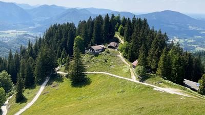
The tour starts in picturesque Bayrischzell. From there, you follow the official cycle path on gravel, which rides parallel to the German Alpine Road to the Sudelfeld ski area. After a short crossing of the B307, the route continues uphill on asphalt at a steady, medium to moderate gradient until the road ends at the Lacher Almen. This is where the challenging part begins: take the bike on your back and carry it to the summit of the Lacherspitze. During the ascent, you should memorize the key sections of the descent, as the ascent route will later also be the descent route.
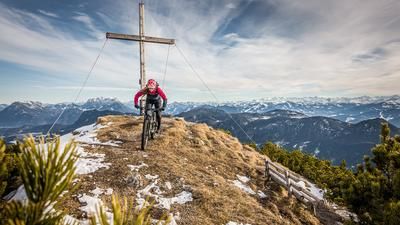
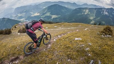
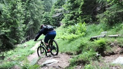
On arrival at the summit, the bike is parked in a bike depot just below the highest point, as the last few metres to the summit are covered on foot. The view from up here is spectacular and stretches from the Wendelstein to the Großvenediger. The descent, which begins immediately, is just as legendary. It offers a wide range of technical challenges between difficulty levels S2 and S4, making it a real test of classic stumbling biking. Some extremely bumpy sections may have to be pushed as they put a lot of strain on the equipment.
The descent continues without much easing up to the lower Sudelfeld. Finally, you return to the ascent route and experience some comparatively "flowy" sections before returning to Bayrischzell.
Important: This tour is not recommended at weekends and during the vacation season, as many hikers will be out and about.
Map & GPX-Track
The map is only available to Ride subscribers.
The Ride-Subscription is available at ride-mtb.com/abo
.
Details of the tour
15 km
940 m
940 m
807 above sea level
1674 above sea level
1 day
Bayrischzell
Bayrischzell
3237
not suitable
More information
More tours nearby






User comments (0)

About the author: Martin Depauli
Note: This content has been automatically translated from German. Please report any incorrect translations.