

Soinsee

Description
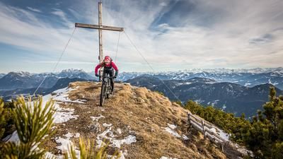
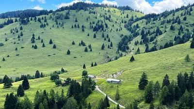
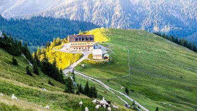
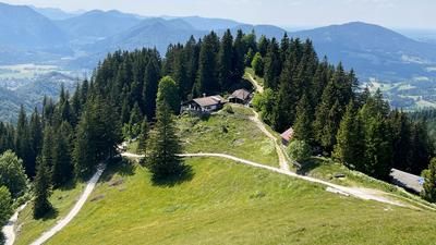
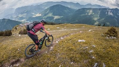
From the train station in Bayrischzell (800 meters above sea level), follow the cycle path to Osterhofen, where you branch off to the southwest and continue along the Alpbach stream to Mieseben (887 meters above sea level). This is where the actual ascent up to Soinsee (1459 meters above sea level) begins, which becomes much steeper once you reach the Untersteilenalm (1180 meters above sea level). If you make it over the many ramps and hairpin bends without descending, you can jump into the ice-cold mountain lake afterwards - even in summer. The highest point of the tour at the unattended Ruchenkopfhütte (1509 meters above sea level) is reached via a hiking trail that starts at the outflow of the lake. In this area it is necessary to push or even carry the bike. But after 50 meters in altitude, this section of the tour is also completed and the first trail descent begins. Always heading east, you reach a road again via the alpine pastures of the Soinalm (1401 meters above sea level). Follow this until you reach a fork in the road at 1227 meters above sea level. Turn left here, follow a forest road for around 200 meters and then immediately turn right again onto the easy trail down to the Niederhofer Alm (1050 meters above sea level). Run by a dairymaid, this alpine pasture fulfills just about every Bavarian cliché and yet is simply authentic. So be sure to stop off for a half beer in a cool stein and a hearty alpine snack.
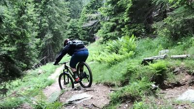
Continue on a narrow alpine path in an easterly direction down into the Wackbach valley. The alpine path soon turns into a full-blown Singl trail, which leaves nothing to be desired for bikers with good technique. Always along the southern slope above the stream, the trail winds its way over challenging root passages, larger and smaller rock steps/stairs and finally in tight hairpin bends into the Ursprungtal valley south of Bayrischzell. This trail is rated S3 to S4 and is much more challenging than the other two trails on this tour. Over longer sections, you should avoid falling, which inevitably ends in the stream bed. A cycle path leads through the Ursprungtal valley back to Bayrischzell.
Note: If you don't feel up to the last trail down into the Ursprungtal valley, you can also take the forest road from the Niederhofer Alm down to Osterhofen.
Map & GPX-Track
The map is only available to Ride subscribers.
The Ride-Subscription is available at ride-mtb.com/abo
.
Details of the tour
20 km
735 m
735 m
781 above sea level
1510 above sea level
1 day
Bayrischzell
Bayrischzell
2514
limited
More information
More tours nearby







User comments (0)
Note: This content has been automatically translated from German. Please report any incorrect translations.