

Ascherjoch (Semmelkopf)

Description
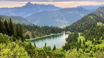
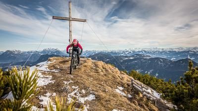
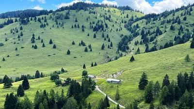
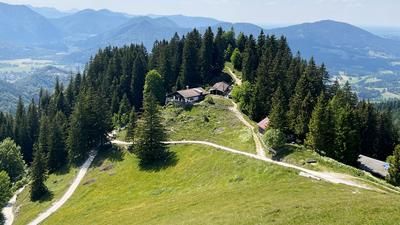
Start in the Schmiedtal valley. From here, you follow the official cycle route, the so-called Sonnberg tour, steadily uphill to the Trainsalm. This is picturesquely nestled below the Trainsjoch and rewards you with fantastic panoramic views - over Lake Thiersee, the Wilder Kaiser and far into the Bavarian Alps. From the Alm, a newly built road continues uphill to the Trainsjoch and a few meters beyond - almost to the Ascherjoch. The last few meters in altitude are covered on meadow slopes or a narrow path that rides directly to the highest point of the tour at 1557 meters above sea level. An impressive panoramic view opens up at the top: From here, on a clear day, you can see as far as the Großvenediger, the Hohe Tauern and numerous striking peaks in the surrounding area.
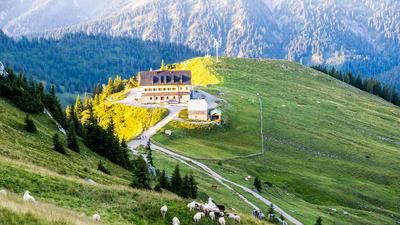
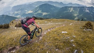
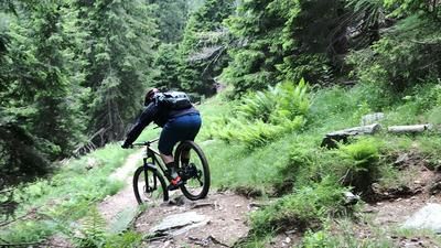
Then the descent begins - varied, challenging and trial-heavy in places. The trail meanders along the ridge, interspersed with counter-climbs, in a mix of S1 to S3. Finally you reach the Saurüssel, the last prominent elevation before the Ascherjochalm. The section up to the alpine pasture is at difficulty level S2 - hairpin bend technique is required here and is crucial for riding enjoyment. From the Ascherjochalm, the route rides downhill in serpentines to the historic Karnweg. This runs relatively smoothly and exudes a mystical character with its shady, moss-covered surroundings. After that, things get challenging again: with several hairpin bends and technically demanding passages (S2-S3), the route descends steadily until you reach asphalt terrain again in Landl. The road takes you back to the starting point in Schmiedtal in a relaxed manner.
Note: The route is located on Austrian territory and leads over routes that are not approved for mountain bikers. Riding this route on a mountain bike is the responsibility of each individual, in full awareness of the legal situation.
Map & GPX-Track
The map is only available to Ride subscribers.
The Ride-Subscription is available at ride-mtb.com/abo
.
Details of the tour
17 km
900 m
900 m
627 above sea level
1524 above sea level
Schmiedtal
Schmiedtal
3461
well suited
More information
More tours nearby







User comments (0)

About the author: Martin Depauli
Note: This content has been automatically translated from German. Please report any incorrect translations.