

Trainsjoch – Ascherjochalm

Description
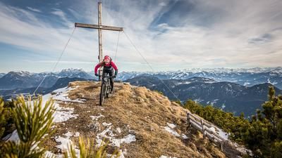
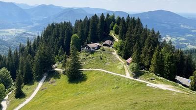
The route begins in Thiersee in the Schmiedtal valley. From here, the official Schmiedtal bike route rides steadily uphill toward the Trainsjoch, first on asphalt and later on gravel. Especially in the upper section, the climb reveals its most spectacular side, offering sweeping views. At the pass, muscle power is required: the mountain bike must be pushed or carried on the shoulder to conquer the summit of the Trainsjoch. A mountain bike depot is available slightly below, as the final meters are barely rideable. The detour to the summit is definitely not to be missed. The view stretches from the Bavarian Prealps in the north to the mighty three-thousand-meter peaks of the main Alpine ridge.
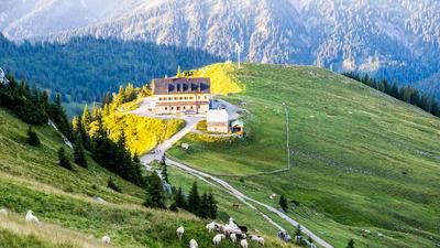
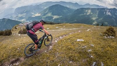
The descent from the summit back to the pass requires technical skill on limestone and gravel at difficulty levels S2 to S3 and features several tricky key sections. The route continues toward Mariandlalm on an S2-rated trail, which also features some challenging sections. The Mariandlalm invites you to take a well-deserved break before continuing the descent at the usual pace.
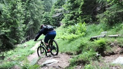
Finally, the path joins a forest road used for the ascent to the Ascherjochalm. Although the tour could also be comfortably rolled out over the mountain pass toward Schmiedtal, those who want to rack up additional trail elevation loss will gladly tackle the uphill climb to the alp. There, a former mule trail begins, which features tight hairpin turns in the upper section rated “Difficulty S2.” Afterward, the trail is smooth and easy to ride before becoming more technically challenging in the lower section and leading directly to Landl. The final stretch back to the starting point is a relaxed ride on asphalt.
A tip for e-mountain bikers: If you skip the summit climb, this loop is perfect for riding with electric assistance.
Note: The route is located on Austrian territory and leads over routes that are not approved for mountain bikers. Riding this route on a mountain bike is the responsibility of each individual, in full awareness of the legal situation.
Map & GPX-Track
The map is only available to Ride subscribers.
The Ride-Subscription is available at ride-mtb.com/abo
.
Details of the tour
24 km
1350 m
1350 m
626 above sea level
1635 above sea level
1 day
Schmiedtal
Schmiedtal
3651
limited
More information
More tours nearby







User comments (0)

About the author: Martin Depauli
Note: This content has been automatically translated from German. Please report any incorrect translations.