

Hinteres Sonnwendjoch

Description
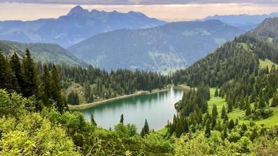
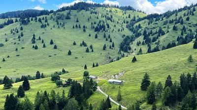
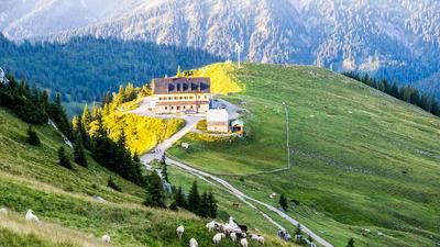
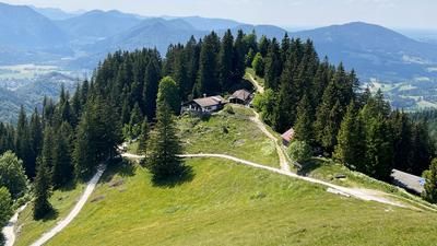
The tour starts near the Ursprung Pass in the Thiersee and Landl area. From here, the asphalt toll road with medium to moderate gradients leads steadily up to the Ackernalm mountain inn. From there, you pedal past the farm buildings on asphalt towards the Bärenbadalm. This section already offers very beautiful panoramic views of the northern Limestone Alps.
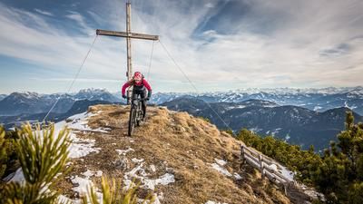
At the Bärenbadalm, the uphill section changes to a gravel road, which continues to ride steadily upwards. This eventually turns into a path on which the mountain bike is pushed or carried up to the summit at almost 2000 meters above sea level. The ascent is a real scenic highlight, as is the summit itself. On a clear day, the view extends from the Hohe Tauern across the Tux Alps to the Loferer and Leoganger Steinberge mountains.
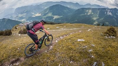
The descent begins right at the summit. On a mix of difficulty levels S2 and S3, the route leads steadily downhill over loose limestone. Several striking key sections and tight hairpin bends require a clean riding technique. At this pace, you ride to the edges of the quarry before pushing the mountain bike again to reach the cross-path towards the chive gully. Although a direct downhill option would be possible, it is not very attractive from a riding point of view.
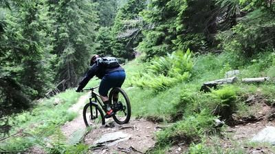
The entrance to the so-called Schnittlauchrinne is very selective in the upper section and can only be mastered by most bikers with short pushing passages. After that, the trail becomes increasingly flowy and turns into a partially walled mule path that rides down to the Wildenkaralm. From there, you follow another brick path with difficulty level S1, occasionally S2, down to the Ackernalm toll road.
At the end, you unfortunately roll downhill on asphalt for a long stretch before returning to the starting point of the tour via a final feeder trail.
Good to know: The Hintere Sonnwendjoch is south-facing and can often be free of snow as early as April. However, the Schnittlauchrinne should be tackled with caution due to its location and possible snow drifts, as old snow fields from the winter can still be found here in June.
Note: The route is located on Austrian territory and leads over routes that are not approved for mountain bikers. Riding this route on a mountain bike is the responsibility of each individual, in full awareness of the legal situation.
Map & GPX-Track
The map is only available to Ride subscribers.
The Ride-Subscription is available at ride-mtb.com/abo
.
Details of the tour
19 km
1150 m
1150 m
773 above sea level
1923 above sea level
1 day
Landl
Landl
3609
not suitable
More information
More tours nearby







User comments (0)

About the author: Martin Depauli
Note: This content has been automatically translated from German. Please report any incorrect translations.