

Schönfeldalm – Heimkehrerkreuz
Description
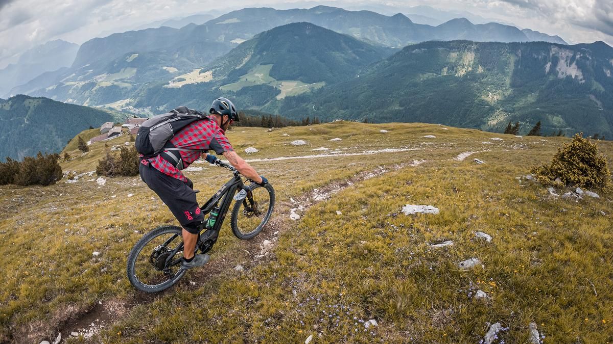
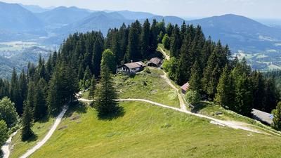
The starting point is the small village of Landl in Thiersee. From here, follow the main road on asphalt, later the Ackernalm feeder road uphill to the Stallenalm. Then keep right onto a forest road and follow it uphill. Unfortunately, there are a few meters of forest road in between before the last hairpin bends take you to the Schönfeldalm, where this forest road also ends. The view in this area is magnificent and there are only a few more meters to the Heimkehrerkreuz. Here you have to push or carry your bike to the top before you reach the highest point of the tour. The views stretch from the Wendelstein to the Hohe Tauern and offer a varied and interesting mountain panorama.
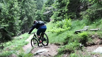
The trail descent is also interesting and varied. From the summit, the trail leads to the Schönfeldalm on difficulty levels S1 to S2. Then follow the forest road for a few meters and then the old alpine path to the Verwalteralm. This is classified as difficulty S2 to S3, whereby there are also some striking key sections in the higher level, but these can also be pushed off. Once you reach the Verwalteralm, you cross the Thierseer Ache, then take a small counter-climb at the hikers' parking lot and pedal uphill on the official Sonnberg tour to just above Landl. Here begins another hairpin bend trail with difficulty levels S2 to S3, which rides back to the starting point.
Note: The route is located on Austrian territory and leads over routes that are not approved for mountain bikers. Riding this route on a mountain bike is the responsibility of each individual, in full awareness of the legal situation.
Map & GPX-Track
The map is only available to Ride subscribers.
The Ride-Subscription is available at ride-mtb.com/abo
.
Details of the tour
19 km
1120 m
1120 m
691 above sea level
1660 above sea level
1 day
Landl
Landl
2921
limited
More information
More tours nearby








User comments (0)

About the author: Martin Depauli
Note: This content has been automatically translated from German. Please report any incorrect translations.