

Jägerkamp-Trail

Description
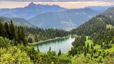
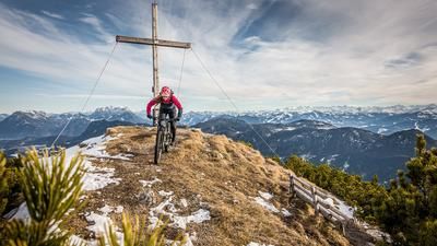
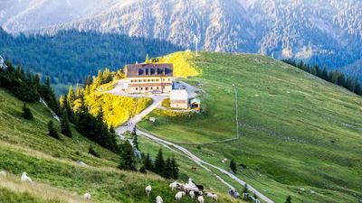
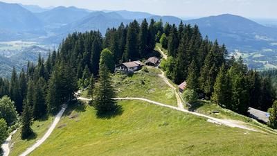
This perfect circular tour for bike mountaineers starts and ends in Aurach (775 meters above sea level). First you follow the cycle path to Josefsthal in the Neuhaus district, where you reach the Spitzingsattel via the old Spitzingstrasse and the last few meters of the new pass road. Continue along the road, through a tunnel to the hotel complexes at Spitzingsee (1090 meters above sea level). Continue along the forest road in the direction of Rotwandhaus. At a fork in the road (mountain guard hut) at around 1200 meters above sea level, head straight on to the Schwarzenkopfhütte (1336 meters above sea level) and continue partly on asphalt, finally quite steeply to the Obere Schönfeldalm (1410 meters above sea level). Here you shoulder your bike and take the signposted hiking trail up to the summit of the Jägerkamp (1746 meters above sea level). From the summit, there is a wonderful view over Lake Schliersee into the Bavarian Alpine foothills.
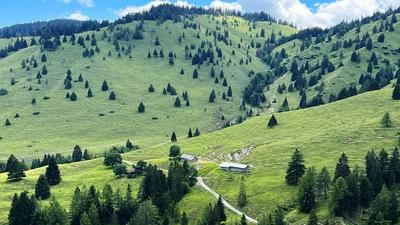
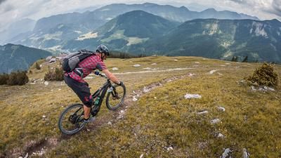
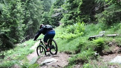
The trail now starts directly at the summit cross. Initially a little bumpy, the view of the ground is partially obstructed by mountain pines - on the ridge above the Jägerbauernalm to the north until you reach an inconspicuous saddle (1568 meters above sea level). Here, turn steeply right along a gravelly path with some wild hairpin bends to the alpine pasture of the Benzingalm (1345 meters above sea level). If you push (or even carry) one or two meters of trail in this area, you won't break a jag out of your crown with the best will in the world. From the Benzingalm, however, the trail really picks up speed. First cross parallel to the slope until you reach another open area. Now countless hairpin bends on a perfect forest trail, sometimes challenging, but never as difficult as in the upper part of the tour until you reach a forest road at around 1000 meters above sea level. Take this road through the Aurach valley back to the starting point.
Note: The tour should be undertaken with caution and only in consideration of the wildlife protection zones in the summit area. The respective protection zones and temporary access bans can be easily researched on the internet (rangers patrol the area from time to time to monitor this). In principle, however, the paths described are freely accessible from April 1 to November 30 each year.
Map & GPX-Track
The map is only available to Ride subscribers.
The Ride-Subscription is available at ride-mtb.com/abo
.
Details of the tour
20 km
1015 m
1015 m
771 above sea level
1739 above sea level
1 day
Aurach
Aurach
2448
not suitable
More information
More tours nearby






User comments (0)
Note: This content has been automatically translated from German. Please report any incorrect translations.