

Rosskogel

Description
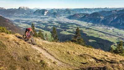
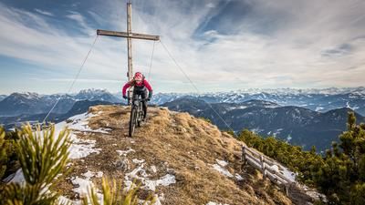
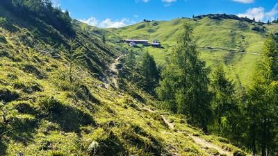
The tour starts in Kramsach. From here, you wind your way up an old feeder path to the Pletzachalm. It is very idyllic, but steep uphill through bizarre rock formations with a fairytale forest feeling. The last steep ascent starts at the Pletzachalm. Once you reach the saddle at around 1450 meters above sea level, you can already enjoy impressive views of the Inn Valley and the summit is also in sight. At the old ski club hut, the bike is moved steadily along a flowing single trail towards the Sonnwendjochhaus. Sections can be ridden, others have to be mastered by pushing and carrying. From the Sonnwendjochhaus, the last few meters of the ascent are carried up to the Rosskogel. Once you reach the summit (1948 meters above sea level), the Dolomite feeling is guaranteed. The Rofan lies before you in all its glory, as do the Zillertal Alps to the south and the high Guffert to the north.
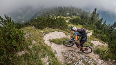
From Rosskopf, the same ascent variant then leads downhill to Donwhill. At difficulty levels S3 to S4, you wind your way to the Sonnwendjochhaus. At the Sonnwendjochhaus it suddenly becomes more flowy. On difficulty S1, you surf to the old ski club hut before continuing along the lift route, which today only functions as a lost place with a few supports, via the middle station into the forest area on difficulty S1 to S2, in places S3. At Kaltwasserbründl, you briefly take the same previously mastered uphill again and come across a trail cutter with difficulty S2, which takes you directly to the starting point in Kramsach. Especially in the summer months or when temperatures are high, you should consider cooling off in the Brandenberger Ache.
Note: The route is located on Austrian territory and leads over routes that are not approved for mountain bikers. Riding this route on a mountain bike is the responsibility of each individual, in full awareness of the legal situation.
Map & GPX-Track
The map is only available to Ride subscribers.
The Ride-Subscription is available at ride-mtb.com/abo
.
Details of the tour
18 km
1355 m
1355 m
520 above sea level
1891 above sea level
1 day
Kramsach
Kramsach
2378
not suitable
More information
More tours nearby


User comments (0)

About the author: Martin Depauli
Note: This content has been automatically translated from German. Please report any incorrect translations.