

Österreichischer Schinder (Trausnitzberg)

Description
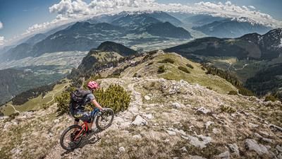
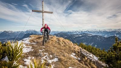
The route starts in Pinegg in Austria. From here, you start at the hiking parking lot on gravel and pedal along the Brandenberger Ache, past the Kaiserhaus, towards the Erzherzog-Johan-Klause. Shortly before this, the route climbs via the Häuslalm and the Reichenböden Jagdhütte (1238 meters above sea level). From this point, the bike is carried and pushed over the Trausnitzmarterl and then up the Austrian Schinder (Trausnitzberg). The further up you get, the better the view. Especially in fall and spring, the view is boundless on a clear day. Biking ends about 100 meters below the summit. The bike depot can be set up here and the last few meters to the summit can be covered on foot. Although the upper section is rideable in places, it is literally a slog uphill and downhill.
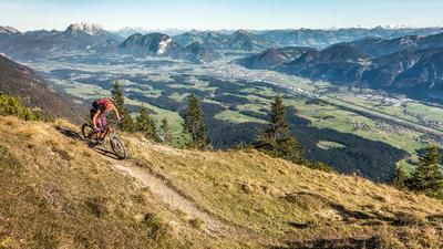
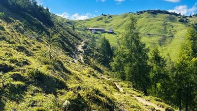
Starting from the bike depot, the singletrail is in a class of its own. On difficulty level S3, in places S4, it leads up to the Trausnitzalm. The S3 level is then maintained. Shortly after the state border, the difficulty decreases and the trail is full of flow sections. Finally, you arrive at the Brennerklamm gorge on asphalt. You then head back to Austria via Forsthaus Valepp. Directly at the national border, you then take the last single trail in the direction of Erzherzog-Johann-Klause. At difficulty level S3, in places S4, the route runs parallel to the Ache river along the valley floor before taking the official gravel cycle route past the Erzherzog-Johann-Klause and leisurely rolling out of the valley with a few more flowy trails to enjoy. Conclusion: All in all, a rather hidden bike tour that offers plenty of trail kilometers thanks to the clever combination of uphill and downhill.
Note: The route is located on Austrian territory and leads over routes that are not approved for mountain bikers. Riding this route on a mountain bike is the responsibility of each individual, in full awareness of the legal situation.
Map & GPX-Track
The map is only available to Ride subscribers.
The Ride-Subscription is available at ride-mtb.com/abo
.
Details of the tour
38 km
1270 m
1270 m
684 above sea level
1740 above sea level
1 day
Aschau im Chiemgau
Aschau im Chiemgau
2540
not suitable
More information
More tours nearby


User comments (0)

About the author: Martin Depauli
Note: This content has been automatically translated from German. Please report any incorrect translations.