

Hundsalmjoch

Description
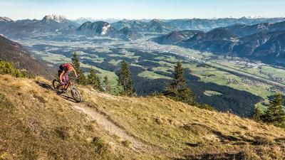
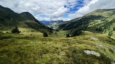
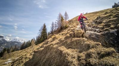
Start at the Buchacker hiking parking lot, which is subject to a charge. From here, the trail climbs steadily up a steep gravel road on limestone in the style of Lake Garda to the Buchacker Almgasthof. Even on the ascent, you can enjoy views of the Inntal valley and the Hohe Tauern mountains. You can stop for a bite to eat at the Buchacker Alm. Continue along the gravel road to the junction near the ice caves to the Hundsalmjoch. From here, most of the time the bike is only pushed or carried to the summit, which is reached after 30 to 45 minutes. The view from the Hundsalmjoch is legendary. Especially in autumn, when the fog banks gather in the Inn Valley, you can look out over them and have a clear view of the Wilder Kaiser, the Hohe Tauern and the Zillertal Alps.
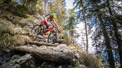
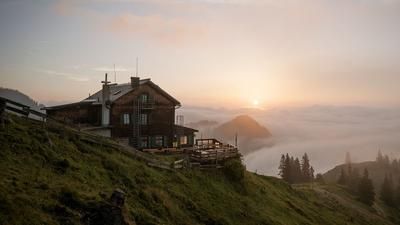
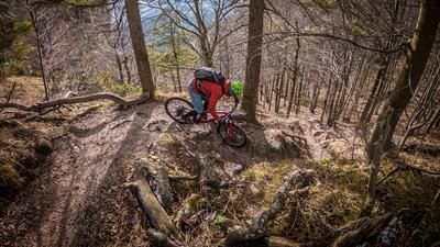
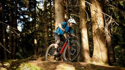
The trail descent is just as legendary. On difficulty levels S2 to S3, it leads to the Daxer Hütte. There is a key section to master in the upper section, but it is better to tackle it by pushing, as there is a barbed wire in the vicinity and the section is also very exposed. From the Daxer Alm, the route then leads through the mixed forest to the ascent variant, also at difficulty level S2. This is climbed once again and then descended briefly in the direction of Hasatal before continuing to Schusterloch. At the Schusterloch, you have to allow for another 10 to 15-minute pushing passage before taking the descent to Schönau/ Breitenbach am Inn again. Passing the Bettelstein, the trail descends on difficulty S2 to S3 on a partly selective trail with many hairpin bends and narrow path conditions. Towards the end, the trail becomes easier and easier before it finally turns into a gravel road. At the bottom of the valley, you roll out comfortably on asphalt to the starting point.
Note: The route is located on Austrian territory and leads over routes that are not approved for mountain bikers. Riding this route on a mountain bike is the responsibility of each individual, in full awareness of the legal situation.
Map & GPX-Track
The map is only available to Ride subscribers.
The Ride-Subscription is available at ride-mtb.com/abo
.
Details of the tour
17 km
1100 m
1100 m
586 above sea level
1569 above sea level
1 day
Embach
Embach
2638
limited
More information
More tours nearby









User comments (0)

About the author: Martin Depauli
Note: This content has been automatically translated from German. Please report any incorrect translations.