

Ascherjöchl

Description
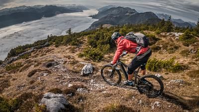
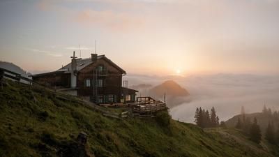
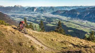
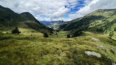
The tour starts in Schönau and initially takes a relaxed ride along the picturesque country road towards Embach. It then climbs up the legendary Buchacker Alm path on a medium and moderate gradient. This path rides to the junction for the Buchacker inn and the Hasatal valley. After a short descent on the Hasatal road, turn left and follow a dead end heading south. Shortly afterwards, the bike is carried a few meters until you reach solid ground at the Nachberg Niederleger. From here, the route climbs again on medium and moderate gradients to Nachberg Hochleger. The view from here is breathtaking, with views of the Großvenediger, Großglockner and the Hohe Tauern. After topping up your drinking water reserves at Nachberg Hochleger, you cross a single trail and a forest road almost all the way to Ascherjöchl. The last 20 vertical meters to the Ascherjöchl must be tackled by pushing or carrying.
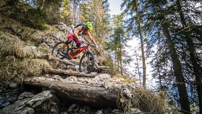
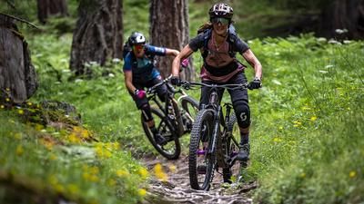
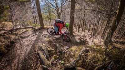
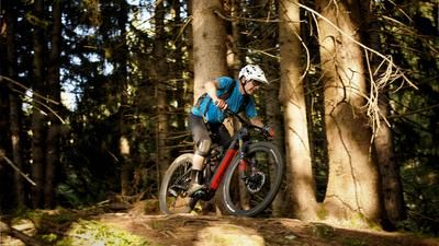
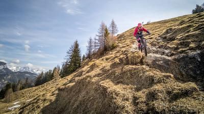
On arrival at the Ascherjöchl, you reach the highest point of the tour with the best view. After a rest at the summit, the challenging trail descent begins. The trail was originally a mulattiera path used for alpine farming and is characterized by the remains of walls and a serpentine layout. The difficulty levels S2, in places S3 and occasionally S4 require a lot of skill. If you really want to ride the entire trail, you should have a good day and sufficient riding technique. At the Ruraalm, the trail crosses some trail cut-offs and finally turns into an S1 single trail. Relatively steep, but super flowy, the trail leads down towards Grub and back to Schönau.
Note that the trail can be very washed out in the upper section due to heavy rainfall or thunderstorms, which requires particular caution.
Note: The route is located on Austrian territory and leads over routes that are not approved for mountain bikers. Riding this route on a mountain bike is the responsibility of each individual, in full awareness of the legal situation.
Map & GPX-Track
The map is only available to Ride subscribers.
The Ride-Subscription is available at ride-mtb.com/abo
.
Details of the tour
18 km
960 m
960 m
586 above sea level
1473 above sea level
1 day
Schönau
Schönau
3235
limited
More information
More tours nearby








User comments (0)

About the author: Martin Depauli
Note: This content has been automatically translated from German. Please report any incorrect translations.