

Wöhrer Köpfl

Description
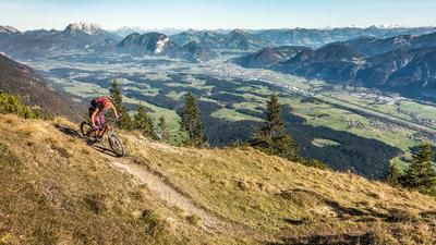
The tour starts in Kufstein at the hospital. First, you cycle along the Inn cycle path past the power station to the hamlet of Unterklötting. Caution: Crossing the B171 (Tiroler Straße) is tricky - be careful here as it is a busy expressway. This is followed by the ascent via the ramp towards Achrain/Schwoich, which soon rides into the center of Schwoich. The route initially runs on asphalt through the settlement area before finally changing to gravel and working its way up to the southern slopes of the Wöhrer Köpfl on a moderate to medium gradient. A worthwhile detour is the short turn-off to the Pendlingblick viewpoint, where a magnificent panorama opens up over the Inn, the southern Inn Valley and Kufstein.
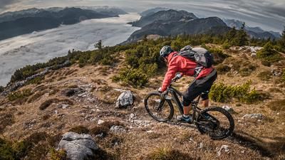
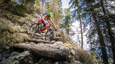
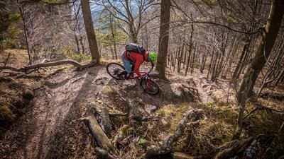
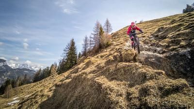
From Wöhrer Köpfl, it is only a few more meters on an increasingly narrow forest road to the summit cross and the official viewpoint - with an unobstructed view of Kufstein, the Austrian/German border and the surrounding communities of Ebbs and Niederndorf. This is also where the trail descent on the Sepp Innerkofler Steig begins - a real insider tip for experienced biking enthusiasts. The upper section is alpine, narrow and exposed, paired with a short carrying passage over a wooden staircase at the bench. Afterwards, you are immersed in an exciting combination of hairpin bends, staggered hairpin bends, smaller trial passages and flowing sections - with a constant level of difficulty between S2 and S3. If you know how to shift the rear wheel, you have a clear advantage. The trail leads into the Höhenweg Schwoich - a historic Kaiserschützenweg, which is particularly impressive with its Dolomite flair and view of the Eibergstraße. Here you wind your way above the road through alpine terrain before entering the industrial area of Kufstein. The way back is relaxed along side roads that lead you back to the starting point at the hospital.
Note: The route is located on Austrian territory and leads over routes that are not approved for mountain bikers. Riding this route on a mountain bike is the responsibility of each individual, in full awareness of the legal situation.
Map & GPX-Track
The map is only available to Ride subscribers.
The Ride-Subscription is available at ride-mtb.com/abo
.
Details of the tour
11 km
300 m
300 m
483 above sea level
758 above sea level
Kufstein
Kufstein
3436
well suited
More tours nearby








User comments (0)

About the author: Martin Depauli
Note: This content has been automatically translated from German. Please report any incorrect translations.