

Kröndlhorn

Description
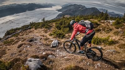
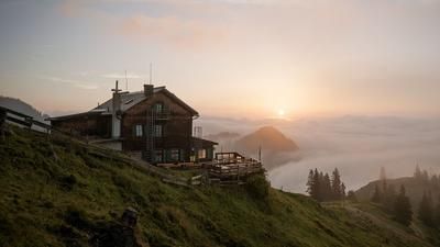
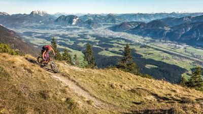
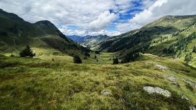
Start in the rear Windau valley at the idyllically situated Gamskogelhütte. From there, a gravel road rides steadily uphill towards Filzscharte. The ascent becomes increasingly scenic and leads through dense pine forests before crossing the border into Salzburg. After a short gravel downhill through the Trattenbach valley, the next ascent begins up to the Trattenbach Hochalm. From here, the mountain bike is shouldered. A narrow hiking trail leads steeply uphill for around 400 meters - the effort is rewarded with the arrival at the Kröndlhorn at 2444 meters above sea level. The small summit chapel, full of character, is located directly at the summit. Although it has a religious character, it fits in well with the overall alpine landscape - both visually and historically. The view from the Kröndlhorn is tremendous: as one of the highest peaks in the Kitzbühel Alps, it offers panoramic views of the region's striking mountains - a real panoramic experience.
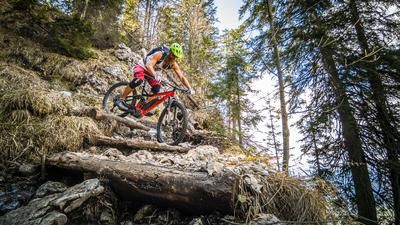
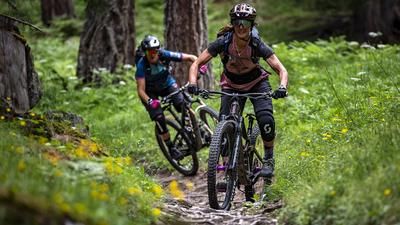
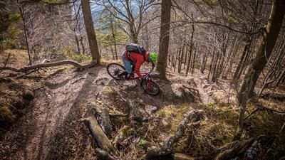
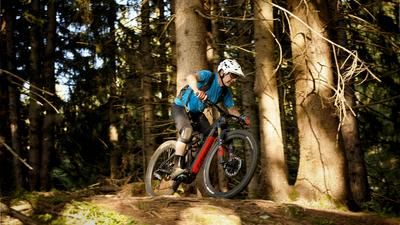
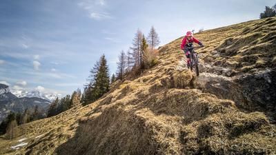
The descent begins in a challenging manner: the trail leads towards Reinkarsee over rough terrain with difficulty levels S3 to S4, sometimes interrupted by pushing passages. The small, picturesque mountain lake is beautifully embedded and offers welcome refreshment in summer. This is followed by a short ascent through a high moor, partly rideable, partly pushing. The following trail section also remains technically demanding (S3-S4) and requires not only a clean choice of line but also confident control of tight hairpin bends - otherwise this section becomes a pushing passage. The trail gradually becomes smoother. From the Oberkaralm, a long, homogeneous downhill begins at S2 to S3 level down to the Baumgartenalm - a consistently enjoyable section that makes you forget the arduous meters in altitude. From the alpine pasture, you can enjoy a relaxed ride on the forest road back to the Gamskogelhütte, where you can round off the day with a culinary stop.
Note: The route is located on Austrian territory and leads over routes that are not approved for mountain bikers. Riding this route on a mountain bike is the responsibility of each individual, in full awareness of the legal situation.
Map & GPX-Track
The map is only available to Ride subscribers.
The Ride-Subscription is available at ride-mtb.com/abo
.
Details of the tour
21 km
1340 m
1340 m
1113 above sea level
2388 above sea level
1 day
Westendorf
Westendorf
3568
not suitable
More information
More tours nearby








User comments (0)

About the author: Martin Depauli
Note: This content has been automatically translated from German. Please report any incorrect translations.