

Möslalmkogel – Darkside
Description
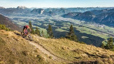
The tour begins at the Waldfriedhof. From there, the route heads briefly south on Wildschönauer Strasse and continues along a forest road through wooded terrain to Bacherwinkl. Near Bacherwinkl, the view opens up briefly, offering a glimpse of the Rofan and the Lower Inn Valley. After that, the trail climbs steadily uphill on gravel over moderate to steep inclines until the turnoff toward the summit. From there, you’ll need to push your mountain bike for a few meters; experienced mountain bikers can continue pedaling all the way to the highest point. The summit cross at 1,109 meters above sea level offers an excellent view of the Lower Inn Valley toward Kufstein in Germany, the Wilder Kaiser, as well as the Karwendel and Rofan ranges.
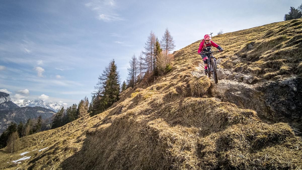
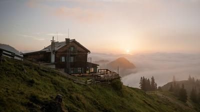
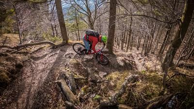
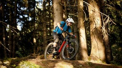
The route then descends directly without any detours. With difficulty ratings ranging from S2 to S3, the winding trail on limestone—which has an enduro-style character—leads to the Möslalm alpine inn. This is a good place to take a break before continuing downhill on the Fuchsweg at a similar pace. The hairpin turn technique is mandatory here, as some turns are very tight and cannot be ridden through. Additionally, the trail should only be ridden in dry conditions, as the roots become significantly more challenging when wet. In the Winkl area, you’ll enter a residential area; after descending nearly 550 meters on the trail, the return trip follows an asphalt road to the Waldfriedhof. Note: The route is located in Austria and partially runs along sections that are not open to mountain bikers. Riding this route on a mountain bike is at your own risk and must comply with applicable laws.
Note: The route is located on Austrian territory and leads over routes that are not approved for mountain bikers. Riding this route on a mountain bike is the responsibility of each individual, in full awareness of the legal situation.
Map & GPX-Track
The map is only available to Ride subscribers.
The Ride-Subscription is available at ride-mtb.com/abo
.
Details of the tour
9 km
550 m
550 m
517 above sea level
1060 above sea level
1 day
Wörgl
Wörgl
3617
well suited
More information
More tours nearby








User comments (0)

About the author: Martin Depauli
Note: This content has been automatically translated from German. Please report any incorrect translations.