

Galtenberg-Umrundung

Description
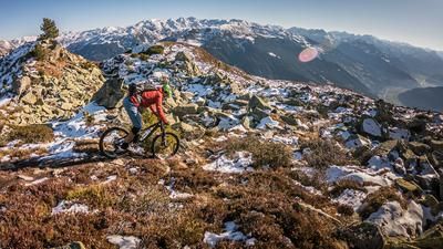
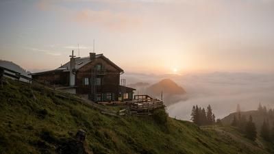
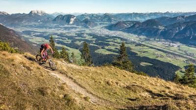
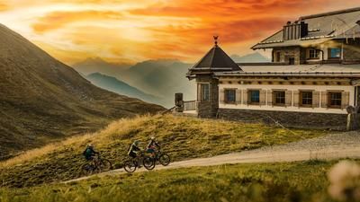
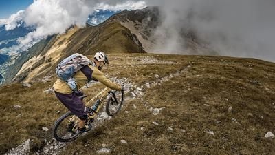
The tour starts in Hart im Zillertal and you ride to Stumm and then up to Gattererberg. To ensure that the long ascent into the Märzengrund doesn't get too boring, you first ride up the Hamberg, where a beautiful trail into the Märzengrund begins just below the summit. If you don't mind riding only on forest roads, you can ride straight into the Märzengrund via Stummberg. With this option, you enter the Märzengrund from above and then ride up to the Otto-Leixl-Hütte (not managed). On the forest road to the Otto-Leixl-Hütte, turn right onto a path just before the hut and push your bike up the last 100 meters to the hut. Here you have a fantastic view back into the Märzengrund and the beautiful Alpbachtal valley in front of you.
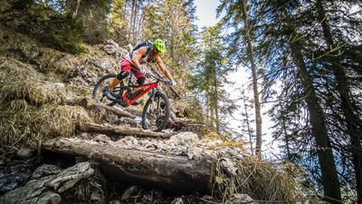
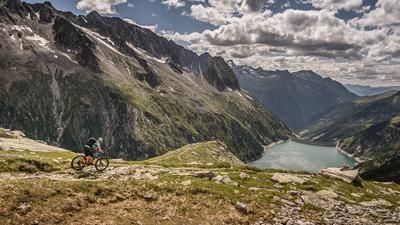
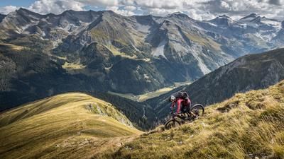
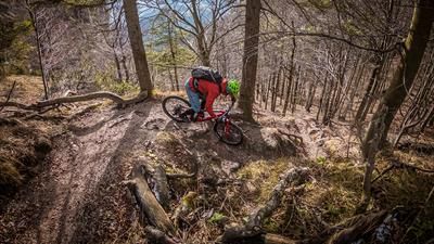
Now the trail begins down into the Alpbachtal valley, partly rocky and blocked, you circle your way to the Steinbergalm. Here you can stop for a bite to eat and try the homemade cheese. Refreshed, you roll down the forest road to Inneralpbach. Now it's time for the 1000-metre ascent to the Wiedersbergerhorn. From the mountain station of the Wiedersbergerhornbahn cable car, you have to ride up a steep section, then you have to push your bike for the last 130 vertical meters. You can rest again at the Hornhütte. The trail begins behind the Hornalm, at a junction you climb over the pasture fence and take the path towards Hart, Hansletalm. Shortly before the Hansletalm, you meet the forest road and continue riding downhill. At the edge of the forest, turn right and the road soon ends. A small path in the direction of Hart leads steeply downhill. Crossing a meadow, you now ride along the tarred road until you arrive at the bottom in Hart.
Tip: This route is also suitable as a two-day tour with an overnight stay in Inneralpbach.
Note: The route is located on Austrian territory and leads over routes that are not approved for mountain bikers. Riding this route on a mountain bike is the responsibility of each individual, in full awareness of the legal situation.
Map & GPX-Track
The map is only available to Ride subscribers.
The Ride-Subscription is available at ride-mtb.com/abo
.
Details of the tour
65 km
3095 m
3095 m
534 above sea level
2030 above sea level
2 days
Kaltenbach
Kaltenbach
2523
well suited
More information
No bike schools are registered for this region. Registration as a partner takes place here.
More tours nearby














User comments (0)
Background to Ride MTB
Ride MTB is dedicated to mountain biking. With the maps Ride Trail Maps and Trail Books and the print magazine Ride, it has played a formative role in alpine mountain biking for many years and has shaped it like few other organizations.
In addition to the publishing business, the company is now also active in product management and operating entire mountain bike projects. These include the tourism project Ride Travel and the development of modern and authentic mountain bike offers such as the Bahnentour in Davos Klosters, Engadin St. Moritz, Lenzerheide or Aletsch, as well as the creation of multi-day tours such as the Postauto-Tour or the Hüttentour.
Ride MTB GmbH was founded in 2001 (formerly Swiss Sports Publishing GmbH) and has been owned and managed by Thomas Giger since then.
Publishing and editorial address
Ride MTB GmbH
Falladagasse 11
CH-7212 Seewis
+41 81 413 43 43
info@ride-mtb.com
Subscription management
Advertisements
Administration
Bank details: Graubündner Kantonalbank.
CHF account. IBAN: CH86 0077 4010 2958 8310 1, BIC: GRKBCH2270A
EUR account. IBAN: CH32 0077 4010 2958 8310 3, BIC: GRKBCH2270A
Company identification number (UID): CHE-102.170.292
The brains behind Ride MTB












Note: This content has been automatically translated from German. Please report any incorrect translations.