

Geier
Description
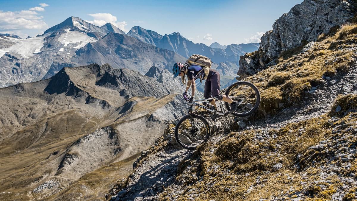
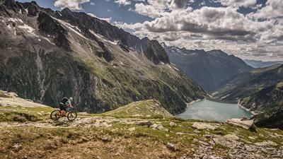
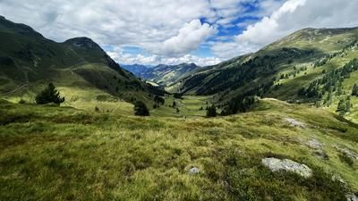
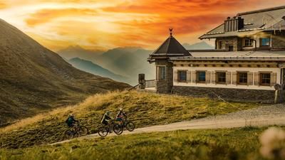
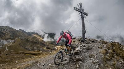
The tour starts in Juns. From here, the official mountain bike trail winds its way up a gravel path, right through the heart of the Tux Alps, to the Stoankasern alpine hut. The hut is staffed, so you can stop for a break. Afterward, you continue along the official mountain bike route toward Junsjoch until you can no longer ride and must push or carry your bike. This section is located near Junsbach at just under 2,050 meters above sea level. The remaining 800 meters of elevation gain are tackled as follows: meter by meter, the trail continues upward, and the view becomes more impressive and majestic with every meter. From the Toten Böden, it’s not far to Lake Junssee, which lies picturesquely against the mountain backdrop. After a short section secured with ropes and a somewhat longer loop, you reach the Geier summit at 2,857 meters above sea level. The view has that Western Alps flair; on a clear day, the vista stretches from the Nordkette over the mighty 3,000-meter peaks of the Tux and Zillertal Alps all the way to the mountains of the Tyrolean lowlands.
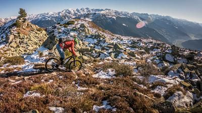
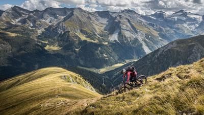
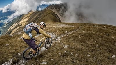
Then the descent begins. The route descends via a mix of S2 and S3 terrain down to Junssee; before that, a short push section awaits during the traverse. Before reaching Junssee, there is another short section secured with a rope—about two to three meters long—which also requires pushing the bike. After that, the route continues at the S3 level—where kick turns are required—toward Tote Böden. Next, you’ll push your mountain bike to the Gschützspitzsattel, where the next trail highlight awaits. An alpine trail rated S2—rising to S3 in the upper section and featuring very smooth passages in the lower part—leads through the Weitental valley, through the Weitenbachklamm gorge, and continues back to Hintertux with a few challenging sections at S3 difficulty. In Hintertux, the route then follows a mix of side roads and main roads back to the starting point.
Note: The route is located on Austrian territory and leads over routes that are not approved for mountain bikers. Riding this route on a mountain bike is the responsibility of each individual, in full awareness of the legal situation.
Map & GPX-Track
The map is only available to Ride subscribers.
The Ride-Subscription is available at ride-mtb.com/abo
.
Details of the tour
25 km
1580 m
1580 m
1350 above sea level
2803 above sea level
1 day
Juns
Juns
3805
not suitable
More information
More tours nearby







User comments (0)

About the author: Martin Depauli
Note: This content has been automatically translated from German. Please report any incorrect translations.