

Wanglspitze

Description
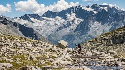
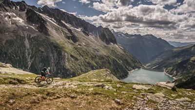
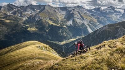
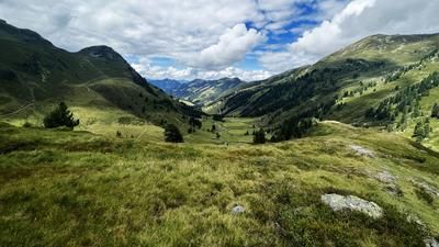
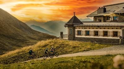
The tour starts in Mayrhofen. From here, the route rolls along the Ziller and later uphill on asphalt towards the Zillertaler Höhenstrasse. A long and challenging uphill awaits you before you reach the Penken at almost 2100 meters above sea level. Most of this uphill section is on gravel. The route then continues along the official Wanglalm/Penkenjoch cycle route towards the Wanglalm. From here, the uphill becomes steeper. Very steep and on rough gravel, there are several hairpin bends before you cross a mule track below the Wanglspitze and finally tackle the last uphill to the Wanglspitze on gravel in the ski area below the 8-seater Horbergjochbahn. At 2420 meters above sea level is the end and you have arrived at the mountain station of the famous 150er Tuxbahn . The view is magnificent.
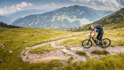
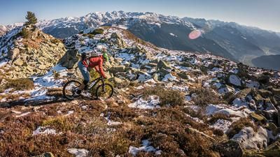
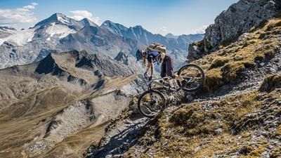
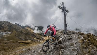
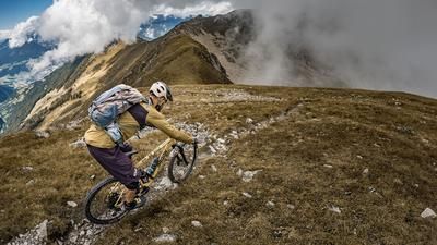
The trail is also fantastic. At difficulty levels S2 to S3, the trail is very challenging in parts up to the Wanglalm and continues in this style towards the moorland nature trail. You then cross this to the east on some artificial, treacherous fixtures. Passing the Nadigalm, you then follow a gravel trail to the next trail entrance. A perfect nature trail on difficulty S1 to S2 leads down to Finkenberg. It stays in this style. A perfectly laid out trail, some of which has an Italian flair, winds its way down to Mayrhofen.
The tour can be shortened considerably by taking the cable car from Mayrhofen to Penken.
Note: The route is located on Austrian territory and leads over routes that are not approved for mountain bikers. Riding this route on a mountain bike is the responsibility of each individual, in full awareness of the legal situation.
Map & GPX-Track
The map is only available to Ride subscribers.
The Ride-Subscription is available at ride-mtb.com/abo
.
Details of the tour
39 km
1900 m
1900 m
587 above sea level
2381 above sea level
1 day
Mayrhofen
Mayrhofen
3052
well suited
More information
More tours nearby







User comments (0)

About the author: Martin Depauli
Note: This content has been automatically translated from German. Please report any incorrect translations.