

Pfannköpfl

Description
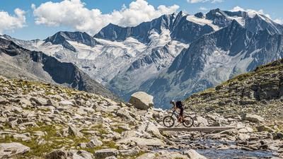
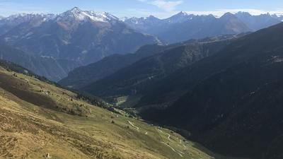
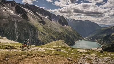
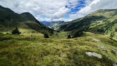
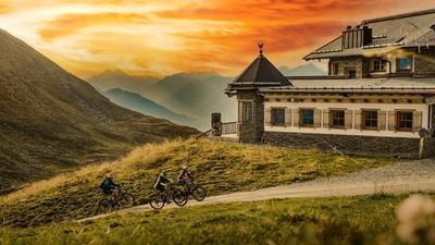
The route starts directly in Hintertux. From here, you follow the official cycle route number 426 to the Tuxer Joch Haus. From the Sommerbergalm, the gravel becomes relatively steep and you have to sacrifice some energy to master the uphill. You will be rewarded with a lush, high alpine panorama on the Pfannköpfl. However, from the Tuxer Joch Haus, the bike has to be pushed or carried up the last few meters to the highest point.
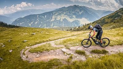
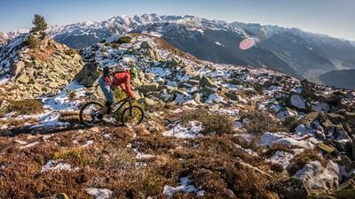
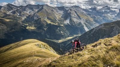
The singletrail descent couldn't be better. Initially on the ascent track in difficulty S2, the route then leads through the Weitental valley. Deserted and lonely, you wind your way to the Schleierwasserfall on relatively flowing trails with a maximum difficulty of S1. At the Schleierwasserfall, the trail continues at the same level of difficulty, albeit exposed, before climbing to difficulty S2 and descending with a few hairpin bends towards the Bichlalm to the forest path. From here, the difficulty increases again slightly and reaches S3 in places before you arrive back in civilization in Hintertux and let the bike roll out on asphalt. All in all, a harmonious tour that is perfect in high temperatures and offers an enjoyable trail descent away from the main hustle and bustle.
Note: The route is located on Austrian territory and leads over routes that are not approved for mountain bikers. Riding this route on a mountain bike is the responsibility of each individual, in full awareness of the legal situation.
Map & GPX-Track
The map is only available to Ride subscribers.
The Ride-Subscription is available at ride-mtb.com/abo
.
Details of the tour
14 km
840 m
840 m
1494 above sea level
2323 above sea level
1 day
Hintertux
Hintertux
2436
limited
More information
More tours nearby










User comments (0)

About the author: Martin Depauli
Note: This content has been automatically translated from German. Please report any incorrect translations.