

Wimbachkopf

Description
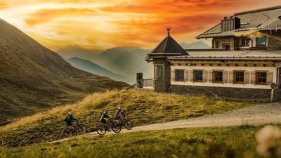
The tour starts in Kaltenbach at the lift parking lot. From here, you take the Zillertaler Höhenstraße - a seemingly endless but scenic ascent on asphalt - steadily uphill. You reach the ski area at just under 1700 m above sea level. From here, the uphill ride continues above the vegetation line with magnificent views to the Wedelhütte at 2350 m above sea level. The hut marks the start of the final ascent to the Wimbachkopf.
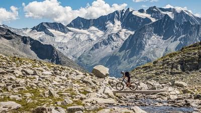
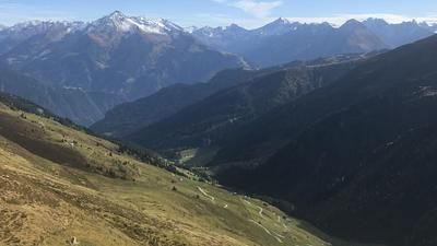
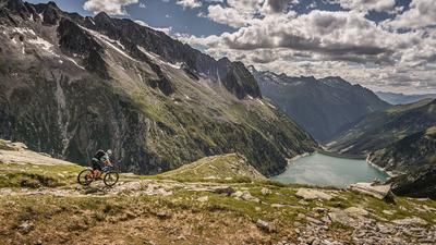
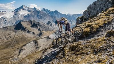
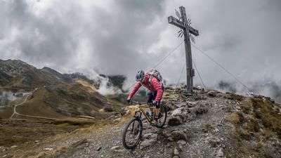
The last 100 meters in altitude are tackled with the bike on your back on a steep but easily accessible alpine path, which is secured by ropes throughout. Once you reach the summit, the panorama is breathtaking: the Tux Alps, Zillertal Alps, Kitzbühel Alps and the entire main Alpine ridge as far as South Tyrol are in view.
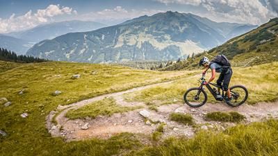
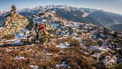
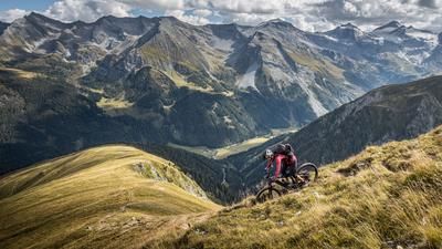
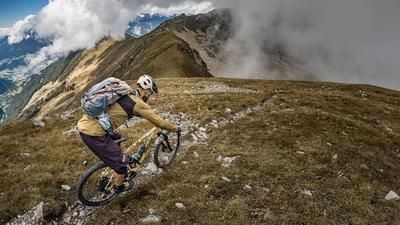
The descent from the summit is between difficulty levels S2 and S3, with some very technically demanding sections and a short pushing section. This section rides down to the Hirschbichl lift. From here, there is a short ascent to the Kristallhütte. From the Kristallhütte, a serpentine path leads downhill, which is very easy in the upper section (S1) and later becomes a little more technical (S2), to the Söggenalm. There you cross to the valley station of the 8-seater Kristall Express and tackle a challenging cross-country trail. This section is very technical (S3) and triable and leads back to the uphill section of the Wimbachkopf.
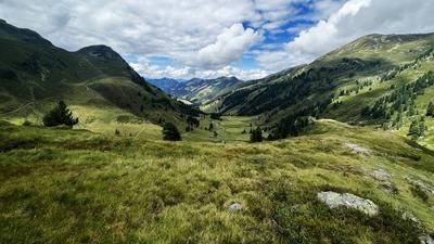
The route continues above the reservoir through the chalet villages before covering a few Elevation losses on asphalt. You then turn left onto the final downhill trail. This long final section is between S2 and S4 and requires clean lines and hairpin bend technique, especially with the numerous roots and tight bends. The ability to master hairpin bends by offsetting is a great advantage here. The trail is followed by a short, easy climb. Passing the residential area, you use the last trail section to ride back to the starting point.
Note: The last 100 meters in altitude to the summit are doable with a light e-bike. However, the tour is only suitable for standard e-bikes to a limited extent, as the bike has to be carried in this section.
Note: The route is located on Austrian territory and leads over routes that are not approved for mountain bikers. Riding this route on a mountain bike is the responsibility of each individual, in full awareness of the legal situation.
Map & GPX-Track
The map is only available to Ride subscribers.
The Ride-Subscription is available at ride-mtb.com/abo
.
Details of the tour
32 km
1900 m
1900 m
557 above sea level
2376 above sea level
Kaltenbach
Kaltenbach
3379
limited
More information
More tours nearby








User comments (0)

About the author: Martin Depauli
Note: This content has been automatically translated from German. Please report any incorrect translations.