

Ramsjoch - Waldhoarspitze

Description
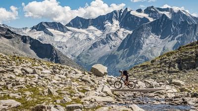
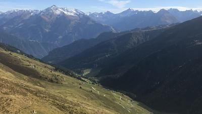
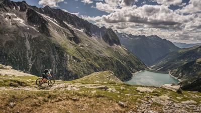
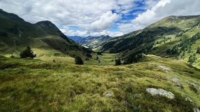
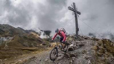
The starting point of the tour is the small village of Vorderlanersbach. From here, the route leads steadily uphill via Schöneben and the Geislerhof to above the Nasse Tuxalm. This is where the gravel road ends, with the last few meters being an extremely steep climb. A path winds its way past the Torsee lakes and then heads north to the Ramsjoch (2508 meters above sea level). The ridge itself is marked with a summit cross and has a real Western Alps feel to it. Views of the main Alpine ridge and the glacier tongue of the Tuxer Ferner leave nothing to be desired in terms of scenery.
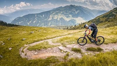
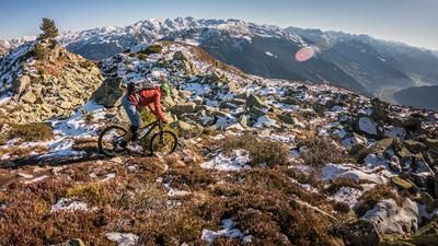
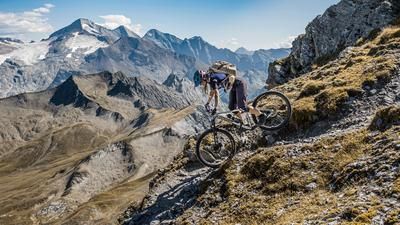
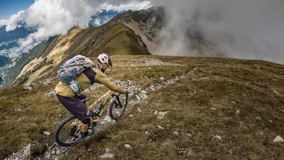
From the Ramsjoch, the descent gets straight down to business. On difficulty level S1, in combination with the S3 hairpin bends, you descend to the Zilljöchl. From the Zilljöchl, there is a small ascent to the Grüblspitze before descending from 2400 meters above sea level via the Waldhoarspitze. It should be noted here that the descent should only be made in dry conditions. In wet conditions, the erosion of the ground and damage to the vegetation would be too great. Once you reach the Waldhoarspitze, you continue on gravel for a few meters before entering the next trail at the Brandalm. On difficulty level S2 (short hairpin bend massacre on S3), the trail flows along the 23 and later the 21 trail above Juns back via Lanersbach to Vorderlanersbach. All in all, a rewarding trail descent, which is particularly attractive outside the operating times of the gondola lift and in dry conditions.
Note: The route is located on Austrian territory and leads over routes that are not approved for mountain bikers. Riding this route on a mountain bike is the responsibility of each individual, in full awareness of the legal situation.
Map & GPX-Track
The map is only available to Ride subscribers.
The Ride-Subscription is available at ride-mtb.com/abo
.
Details of the tour
20 km
1210 m
1210 m
1254 above sea level
2469 above sea level
1 day
Vorderlanersbach
Vorderlanersbach
2571
limited
More information
More tours nearby








User comments (0)

About the author: Martin Depauli
Note: This content has been automatically translated from German. Please report any incorrect translations.