

Feuerköpfl - Bärenbadhaus

Description
The route starts in Niederbreitenbach, just above Schönwörth Castle. At first, the route is quiet and relaxed on side roads to Unterlangkampfen, before briefly using the Kufsteiner Landesstraße in the Schaftenau area. After the small airfield, turn off and head towards Dreibrunnenjoch - this is where the real uphill begins. Initially on asphalt, later on gravel, it becomes steep and selective from the reservoir to the Dreibrunnenjoch. A demanding climb that requires strength. From the pass, you follow a classic forest road in the municipality of Thiersee towards the Kaltwasser fork. There are already some trail cut-offs here that give you an idea of what awaits you in terms of trail technology.
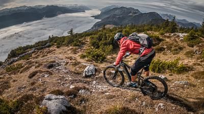
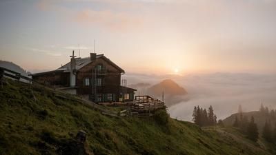
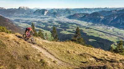
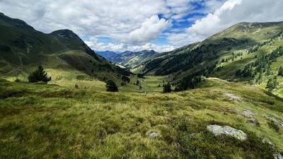
Continue towards Jochalm before the first trail detours lead you towards Höhlensteinhaus / Höhlenstein. In easy terrain at S1 level, you cross the high plateau, accompanied by impressive views to the south of the main Alpine ridge. Depending on opening times, the Höhlensteinhaus is a worthwhile place to stop for refreshments. The final ascent to the summit cross on the Feuerköpfl is quickly completed. The highest point of the tour offers a gigantic panorama: from the Großvenediger over the Zillertal to the Inntal Oberland, on to the Kitzbüheler Horn and the Loferer Steinberge.
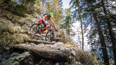
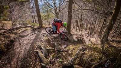
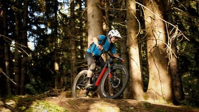
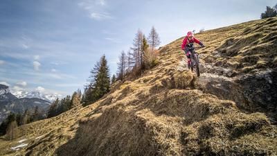
Then the descent begins. Initially technically demanding (S2 to S3), you cross the plateau again - this time much easier - before entering the serpentine descent. With hairpin bends, exposed passages and partly open terrain, this once again demands concentration. Shortly before the forest road, the trail becomes easier and leads to an interesting crossing to the Bärenbachhaus. Here, too, you are at S2 to S3 level, including a short push section with a counter-climb, before a flowing section at Bärenbad marks the transition to the last trail. This is pleasant to ride (S1 to S2), with some artificial features, and finally leads back to the starting point in Niederbreitenbach.
Note: The route is located on Austrian territory and leads over routes that are not approved for mountain bikers. Riding this route on a mountain bike is the responsibility of each individual, in full awareness of the legal situation.
Map & GPX-Track
The map is only available to Ride subscribers.
The Ride-Subscription is available at ride-mtb.com/abo
.
Details of the tour
20 km
820 m
820 m
485 above sea level
1279 above sea level
Niederbreitenbach
Niederbreitenbach
3427
well suited
More information
More tours nearby









User comments (0)

About the author: Martin Depauli
Note: This content has been automatically translated from German. Please report any incorrect translations.