

Gratlspitze

Description
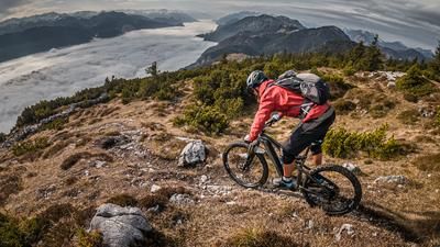
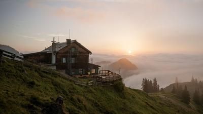
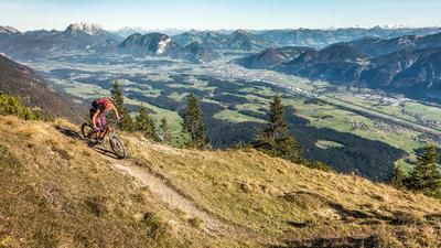
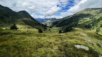
The route starts in the municipality of Rattenberg. From here, you follow the cycle path towards Mauken and then the official cycle route to the Holzalm (1452 meters above sea level). In the Grafenried area, where you leave the forest, you have wonderful views of the Tyrolean lowlands towards Kufstein. Up to the Holzalm, the path changes from asphalt back to gravel, whereby from the managed alpine pasture the bike can only be pushed or carried up the 400 meters to the summit. The Gratlspitze itself is one of the most scenic summits, offering impressive views of the mountains in good visibility.
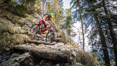
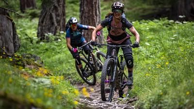
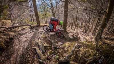
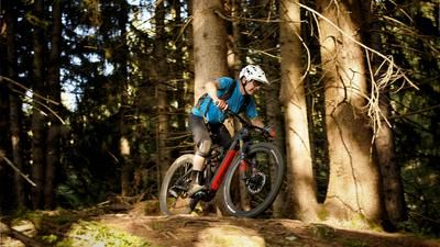
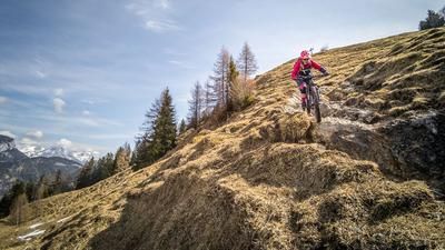
The trail is just as impressive. At difficulty levels S3 to S4, it descends to the Holzalm, although it should be noted that some sections are only suitable for absolute professionals. However, after a few meters of elevation gain, these can be removed or pushed off and then the trail can be ridden again. From the Holzalm, the trail is quite flowy in the direction of Schwarzenberg. From Schwarzenberg you roll relaxed to the Radfelder Höhenweg and surf down it. Passing the Hauskogel, you then take the Radfelder Höhenweg back to Rattenberg. From difficulty S1 to S2, in places S3, everything is included here. In Rattenberg, you arrive directly in the old town on the valley floor and thus complete the loop.
Note: The route is located on Austrian territory and leads over routes that are not approved for mountain bikers. Riding this route on a mountain bike is the responsibility of each individual, in full awareness of the legal situation.
Map & GPX-Track
The map is only available to Ride subscribers.
The Ride-Subscription is available at ride-mtb.com/abo
.
Details of the tour
25 km
1370 m
1370 m
511 above sea level
1839 above sea level
1 day
Rattenberg
Rattenberg
2482
not suitable
More information
More tours nearby







User comments (0)

About the author: Martin Depauli
Note: This content has been automatically translated from German. Please report any incorrect translations.