

Pendling - Dreibrunnenjoch

Description
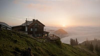
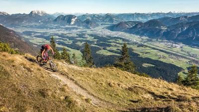
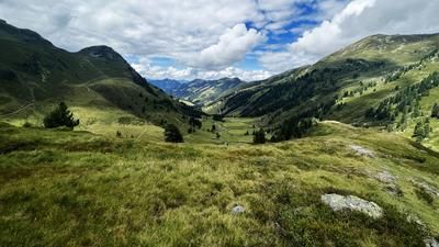
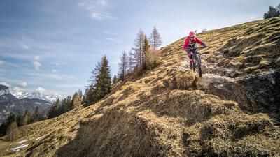
Start at the Langkampfen-Kufstein airfield. From here it is a relatively steep climb past Stimmersee lake to Dreibrunnenjoch. At the Dreibrunnenjoch, you can refill your water supply in summer before taking the rather lengthy forest highway to the Almgasthof Kala Alm. Up to here, you spend most of the time in shady forest areas with only limited views. This changes abruptly from the Kala Alm. With views of the Inn Valley, the Kitzbühel Alps and the Hohe Tauern, the route continues on the home stretch to the Pendlinghaus. In the meantime, however, a few Elevation loss on gravel are destroyed on the descent to the saddle. Past the Pendlinghaus, the bike is pushed or carried the last few meters up to the summit. At the highest elevation, you can enjoy a fantastic panorama and far-reaching views in autumn and spring.
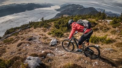
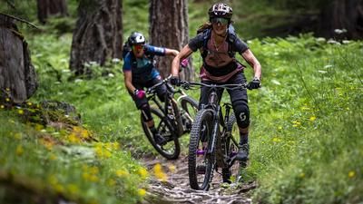
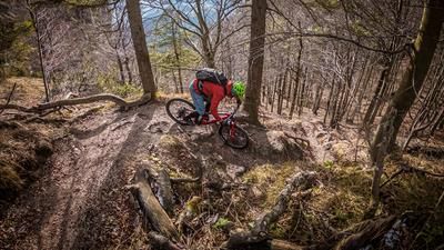
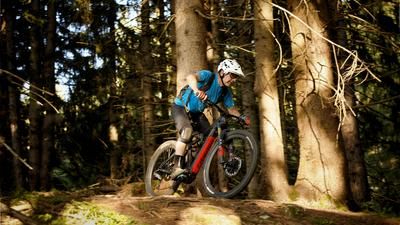
The trail descent then begins from the summit. The trail heads west towards Kaltwasser and is very challenging at difficulty levels S3 to S4. In the middle section in particular, there are some circular stairs with hairpin bends to master, which are only recommended in dry conditions. In wet conditions, there is a risk of slipping and falling. At Kaltwasser, the trail then becomes very flowy and the difficulty level is S1 to S2 back to the Dreibrunnenjoch, before briefly returning to the gravel road and then the trail finale above the Pulverturm and finally returning to the starting point.
Note: The route is located on Austrian territory and leads over routes that are not approved for mountain bikers. Riding this route on a mountain bike is the responsibility of each individual, in full awareness of the legal situation.
Map & GPX-Track
The map is only available to Ride subscribers.
The Ride-Subscription is available at ride-mtb.com/abo
.
Details of the tour
18 km
1050 m
1050 m
489 above sea level
1516 above sea level
1 day
Unterlangkampfen
Unterlangkampfen
2650
well suited
More information
More tours nearby








User comments (0)

About the author: Martin Depauli
Note: This content has been automatically translated from German. Please report any incorrect translations.