

Juffinger Jöchl

Description
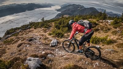
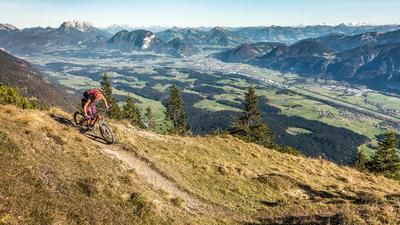
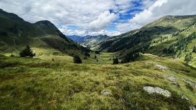
The tour starts in Kirchbichl, near the Brixentaler Ache river. From here, the route initially rides uphill on asphalt towards Bad Häring, later continuing on a gravel road that climbs steadily. Passing the hamlet of Werlberg, you follow the official cycle route with great views of the Inntal valley and the characteristic Inn loop. At a fork in the road, keep left and stay on the forest path for a few more meters before the trail to the highest point of the tour, the Juffinger Jöchl, begins. The summit at 1180 meters above sea level surprises with an impressive view: on a clear day, you can even see the Hohe Tauern and the Großvenediger from here - a panorama that you would hardly expect at this altitude.
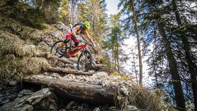
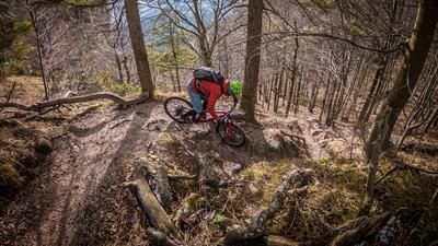
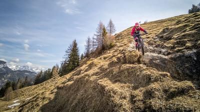
The descent starts right at the summit on a varied S1/S2 trail, which winds its way back to the fork in the trail over forest floor with carpets of roots and tight bends. The crossing to the Stallhäusl inn then begins. Several hairpin bends await right at the start, after which the trail is partly exposed, but mostly remains at S1/S2 level, with occasional S3 passages.
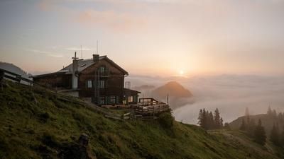
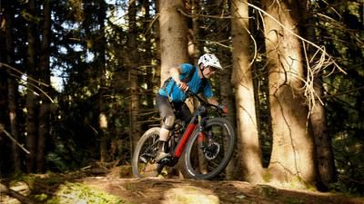
A stop at the Stallhäusl inn is definitely worthwhile before you roll on asphalt to the first bend and then turn into a historic trail towards Söll/Itter. This section combines flowing passages (S1) with more technical sections (S2 to S3) and offers varied riding pleasure. The next trail begins near the Badhaus accommodation, which is extremely flowy and rides directly to the valley station of the cable car. After crossing under the main road, there is a short counter-climb that leads to the uphill to Itter. Another very flowy trail section begins in Itter, which scores with a beautiful view of the Brixentaler Ache and the Inntal valley towards Luech. From there, a mix of asphalt, gravel and the official cycle path leads back to Wörgl before you complete the loop in Kirchbichl.
Note: The route is located on Austrian territory and leads over routes that are not approved for mountain bikers. Riding this route on a mountain bike is the responsibility of each individual, in full awareness of the legal situation.
Map & GPX-Track
The map is only available to Ride subscribers.
The Ride-Subscription is available at ride-mtb.com/abo
.
Details of the tour
20 km
670 m
670 m
517 above sea level
1133 above sea level
Wörgl
Wörgl
3430
well suited
More information
More tours nearby








User comments (0)

About the author: Martin Depauli
Note: This content has been automatically translated from German. Please report any incorrect translations.