

Gschließegg
Description
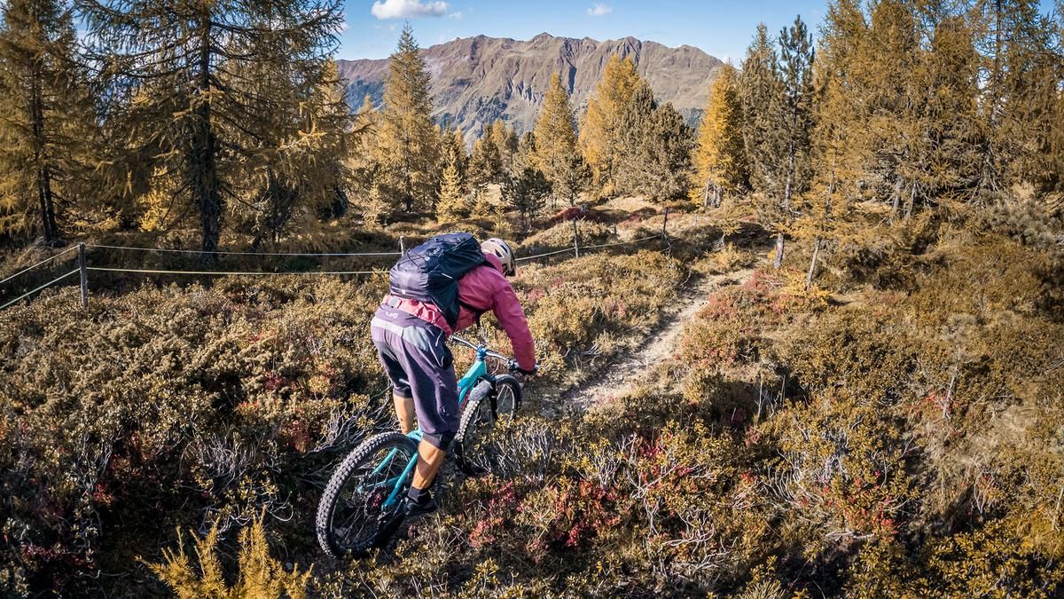
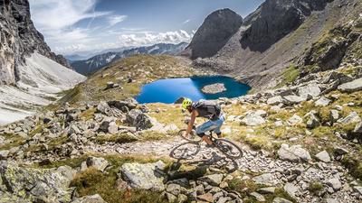
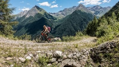
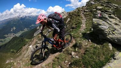
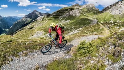
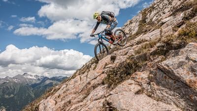
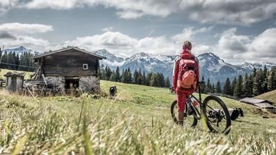
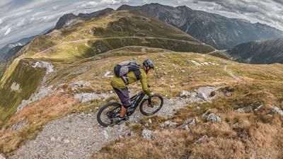
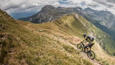
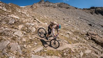
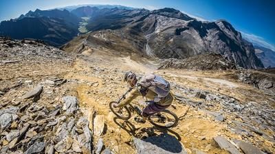
The tour starts in Sterzing. From there, you ride along the Eisack River toward Freienfeld and then follow the climb—first on asphalt, then on gravel—steadily upward to just under 1,700 meters above sea level. The partially open sections offer repeated panoramic views along the way toward the Jaufen Pass and the Penser Joch. The ridge itself then runs along a singletrack, initially requiring you to push your bike, and in some sections, to pedal. You’ll circle the Gschliessegg on its north side, which is characterized primarily by sparse woodland.
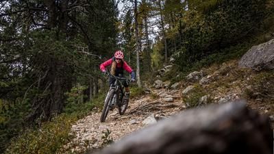
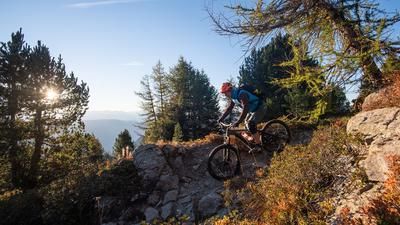
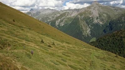
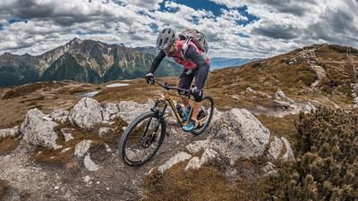
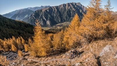
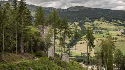
The descent then begins riding west. Rated S2 in difficulty, a classic forest and meadow trail leads through spruce and larch forests to Sprechenstein Castle, where there is also a restaurant. Finally, a rocky trail section rides west before the loop comes full circle back in Sterzing.
Map & GPX-Track
The map is only available to Ride subscribers.
The Ride-Subscription is available at ride-mtb.com/abo
.
Details of the tour
21 km
760 m
760 m
930 above sea level
1638 above sea level
1 day
Sterzing
Sterzing
3835
well suited
More tours nearby



















User comments (0)

About the author: Martin Depauli
Note: This content has been automatically translated from German. Please report any incorrect translations.