

Sterzinger Hütte
Description
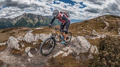
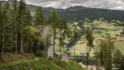
The tour begins in the small hamlet of Burgum in the Pfitsch Valley. From here, the route follows the state road for a short distance before turning onto the Vallo Alpino military road at Fussendrass, heading toward the Pfunderer Joch. For anyone looking for “lost places,” the Fussendrass area offers plenty of options, as several World War II bunker complexes have been preserved here. The ascent on gravel is very steep overall toward the Pfunderer Joch, before turning right at just under 2,200 meters above sea level and heading toward the Wilde Kreuzspitze. The ascent is very steep and challenging along a trail that is partly well-marked and offers sweeping views up to the Hochfeiler and on to the saddle. There, you reach the highest point of the tour at just under 2,650 meters above sea level and are treated to an impressive view toward the Sterzinger Hütte as well as the striking Pfunderer Mountains.
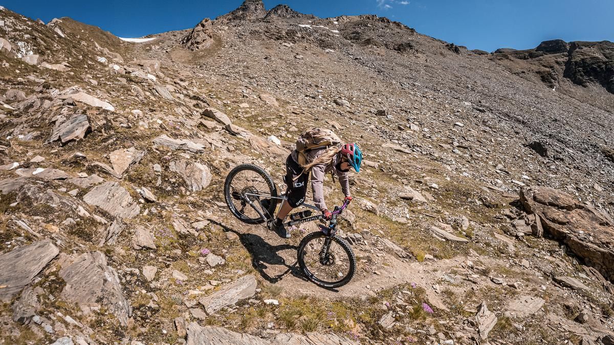
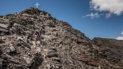
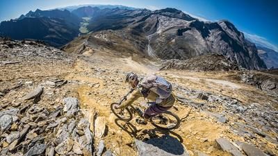
The descent is rated S2 to S3. Some hairpin turns require precise navigation, so your snowplow technique should be solid. The descent takes you down to the Sterzinger Hut over loose terrain of sand and gravel, with occasional steep sections and hairpin turns. The Sterzinger Hut itself is a mountain shelter in the Pfunderer Mountains and offers self-catering facilities at 2,344 meters above sea level. Nestled in a scenic setting, it’s an ideal spot for a break. The route continues in a similar vein with a few steep sections, after which the trail crosses the slope through meadows. Afterward, the route alternates again between somewhat easier and more difficult sections rated S3, before finally becoming increasingly smooth and easier, leading back to the starting point at an S1 to S2 difficulty level.
Map & GPX-Track
The map is only available to Ride subscribers.
The Ride-Subscription is available at ride-mtb.com/abo
.
Details of the tour
15 km
1235 m
1235 m
1373 above sea level
2608 above sea level
1 day
Burgum
Burgum
3772
not suitable
More information
More tours nearby

































User comments (0)

About the author: Martin Depauli
Note: This content has been automatically translated from German. Please report any incorrect translations.