

Rinner Sattel - Nord
Description
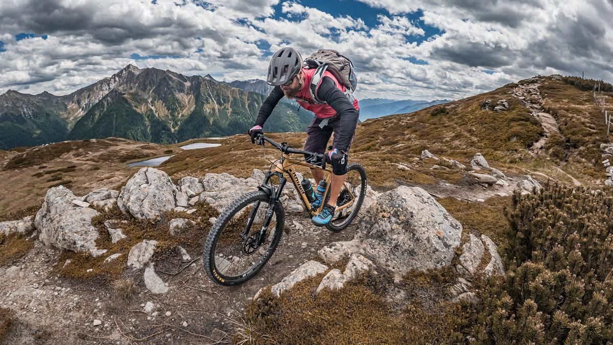
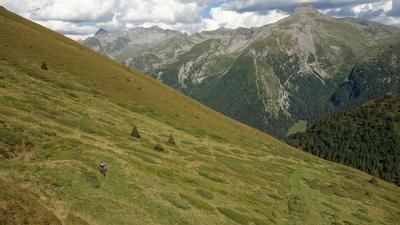
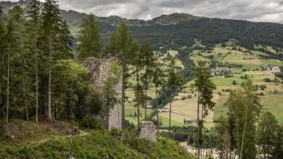
The route begins in Stange, near Sterzing. From here, the official main road leads to Jaufensteg; from there, the trail continues on a gravel path along the Karnweg toward Bichl. From Bichl, take the farm road—first on asphalt, then on gravel—steadily uphill with moderate to gentle gradients, all the way to the Ratschings-Jaufen mountain station, which is also open during the summer season. From there, it’s just a few more meters toward the Wasserfaller Alm before you shouldering your mountain bike and tackling the final climb to the Rinner Sattel. At 2,031 meters above sea level, you’ve reached the highest point of the tour. The view extends to the Italian side, the Stubai Alps, toward the Mareiter Stein, and to the Texel Group in the direction of Merano. Far from the hustle and bustle of the Jaufen Pass, it’s comparatively quiet here; only the sound of engines from the pass road can be heard.
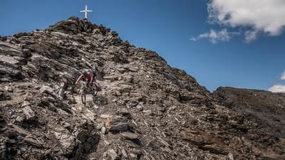
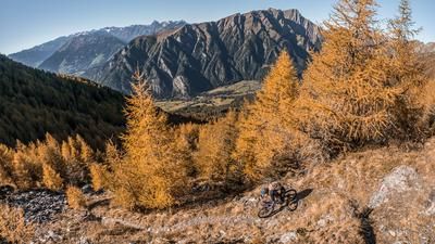
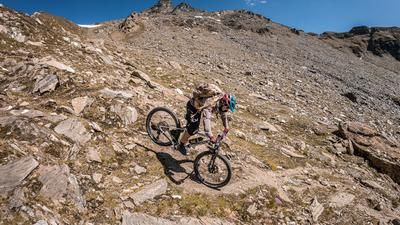
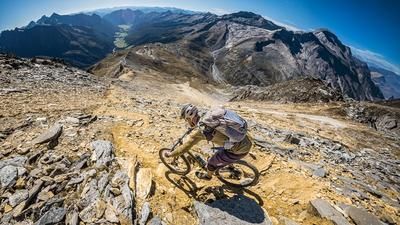
Then the descent begins. The route to the Wasserfaller Alm is rated S2 to S3 in difficulty and features several challenging sections that also make for good spots to take a break. The route continues across the ski slopes before transitioning to S3 difficulty in the forested area; with several sections featuring tree roots, the trail remains challenging all the way to the farm buildings of the Kaserlicht Alm. From the Kaserlicht Alm, the route alternates between difficulty levels S2, sections of S3, and occasional S1 sections as it descends toward Bichl. From Bichl, follow the forest road again toward Jaufensteg, and from there—after a short intermediate climb—the route continues along easy trail sections and via the Karnweg back to the starting point in Stange.
Map & GPX-Track
The map is only available to Ride subscribers.
The Ride-Subscription is available at ride-mtb.com/abo
.
Details of the tour
23 km
1040 m
1040 m
984 above sea level
2019 above sea level
1 day
Sterzing
Sterzing
3760
limited
More information
More tours nearby
































User comments (0)

About the author: Martin Depauli
Note: This content has been automatically translated from German. Please report any incorrect translations.