

Giggelberg-Trail (Lorenzenberg)

Description
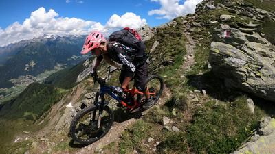
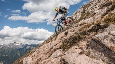
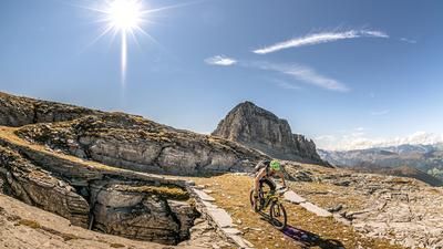
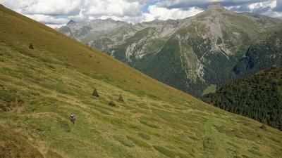
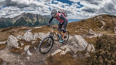
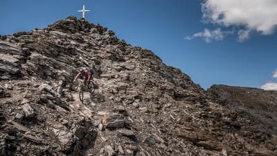
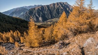
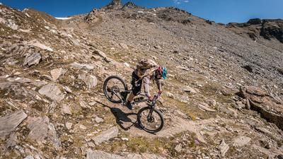
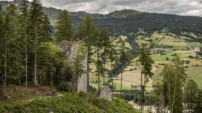
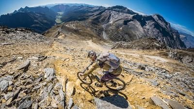
The traffic gods - and all earthly people who make a pilgrimage to the Dolomites or Lake Garda - love the Wipptal on the North Tyrolean side and the Upper Eisacktal on the South Tyrolean side! This is where the main Alpine ridge reveals its weak point: the Brenner Pass. However, if you head towards Italy at 110 km/h, you will hardly realize what a valuable trail treasure you are so shamefully leaving behind. Only the enlightened leave the freeway at the top of the pass, fight their way through the automotive civil war between unspeakable outlet centers and park less than three kilometers away from the bargain paradise of the Brenner Pass at the inconspicuous Gasthof Silbergasser (1340 m). This is where the long ascent starts on well-maintained, serpentine military roads - and a few pitch-black tunnels - up to the Brenner border ridge. Below the Kreuzjoch (2242 m) you have to decide: turn right and head to the northern part of the ridge? Or head south-west and head for the summit of the Hoher Lorenzenberg (2315 m), the high point of the ten-kilometre-long border ridge, which can be seen from afar? If you've got lard in your calves, you can climb up to the summit on partially dilapidated paths. And a little later to the dilapidated but accessible - and extremely exciting to explore - summit fort on the Geierskragen (2309 m). Take a headlamp with you! Now it's finally time to head downhill! On one of the most rewarding trails between Innsbruck and Sterzing - the "Giggelberg Trail". It winds its way downhill in a super-flowing manner, mostly at S-1 level in many hairpin bends. But flow or no flow - you're in drop-off terrain up here. So don't take any risks! You can count the number of hairpin bends on the Giggelberg trail where you have to shift your rear wheel on one hand. Otherwise, you literally flow from one bend to the next. The dream ends near Innergiggelberg. Here you ride downhill towards the Brenner main road and pedal back to Gasthof Silbergasser on the paved cycle path.
Map & GPX-Track
The map is only available to Ride subscribers.
The Ride-Subscription is available at ride-mtb.com/abo
.
Details of the tour
23 km
1200 m
1200 m
1253 above sea level
2213 above sea level
1 day
Terme del Brennero
Terme del Brennero
1869
well suited
More information
More tours nearby
































User comments (0)
Note: This content has been automatically translated from German. Please report any incorrect translations.