

Sandesjöchl

Description
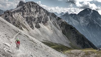
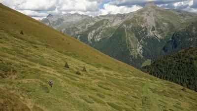
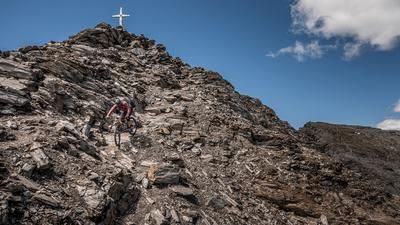
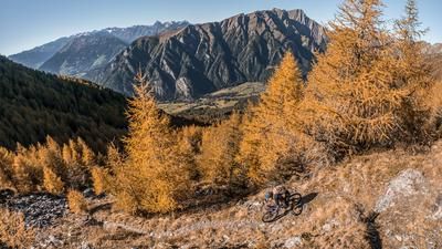
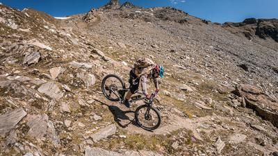
The Sandesjöchl makes it possible to get from Austria to Italy and back again in just one day with just one pass. The tour starts in Austria at the entrance to the Gschnitztal valley near Steinach am Brenner. From here, the cycle path winds its way to Gschnitz and then on to Obertal. Up to here, the ascent is moderate and you have a wonderful view of the mountain world of the Stubai Alps and the end of the Tribulaun. In Obertal, you take the forest path towards the Tribulaun Haus along the Sandestal valley on a moderately steep ascent. From Hintersandes, the bike is shouldered at an altitude of around 2000 meters above sea level and the rest of the ascent is tackled on foot. The mountain landscape becomes increasingly rugged and massive and for a short time you think you have landed in the Dolomites. 600 meters of ascent lie ahead of us, which have to be tackled by carrying or pushing. In the middle section, you pass a wetland with two tapped springs to replenish your fresh water supplies. Step by step, altitude meter by altitude meter, you fight your way up to Sandesjöchl on the Austrian/Italian border.
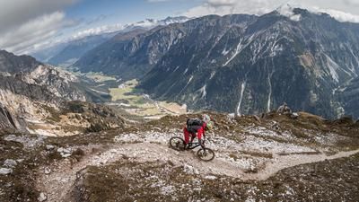
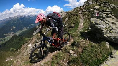
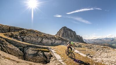
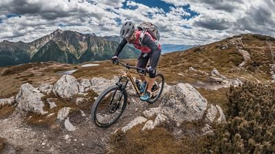
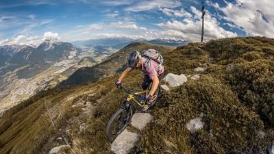
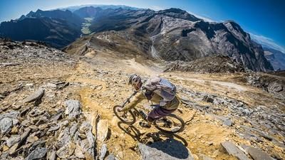
The descent begins on a solid trail. The former military road from the Second World War offers over 1300 Elevation loss. The first sections are already relatively alpine and exposed. The trail becomes increasingly flowy in the upper section and you reach the Tribulaun hut on the Italian side. The hut is perfectly situated on the impressive Sand Lake. A stop here is a must. The mountain panorama is particularly impressive towards the east with the Gschnitzer Tribulaun. The 7- and 8-seater trails are enduro-heavy all the way to Hölle. Hölle, or Hinterstein, is the name of the district where the trail ends. From here, you can take trail trimmers all the way to Feuerstein and Außerstein. The difficulty of the descent is classified as S2, in places S3, but is completely feasible for technically experienced riders and will put a smile on the face of any enduro biker. From Pflersch/ Innerpflersch, you glide parallel to the Pflerscherbach stream, turning left in Ast onto the disused railroad embankment of the former Brenner railroad and winding your way back to the Brenner Pass. From the Brenner Pass, you then follow the cycle path back to Steinach am Brenner. Conclusion: a tremendous tour with a repeat factor.
Map & GPX-Track
The map is only available to Ride subscribers.
The Ride-Subscription is available at ride-mtb.com/abo
.
Details of the tour
61 km
1945 m
1945 m
1040 above sea level
2575 above sea level
1 day
Steinach am Brenner
Steinach am Brenner
2016
not suitable
More information
Video
More tours nearby


































User comments (3)

About the author: Martin Depauli
Note: This content has been automatically translated from German. Please report any incorrect translations.
Bombastic tour! There were already a few patches of snow on the uphill section, but the descent was completely snow-free and every meter of carrying was worth it!
Wonderful tour! Also doable with an e-bike!
An amazing tour with a fantastic panorama and an ingenious trail! To shorten the route a little, you can take the train from Gossensass to Steinach and the bus from Steinach to Gschnitz, Gasthof Feuerstein (bikes allowed).