

Thaurer Rosskopf

Description
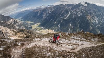
The tour starts in the district of Thaur near Innsbruck and rides steadily uphill along the official forest road. The climb is challenging and steep in places, and the heat can make the ascent even more difficult, especially in summer. You reach the Thaurer Alm at almost 1500 meters above sea level. If you still have some energy left, you can continue up to the Thaurer Rosskopf, although the last few meters to the summit have to be tackled on foot. From the Alm or the summit, there is a magnificent view to the south of the main Alpine ridge and the northern Wipptal valley.
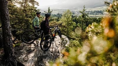
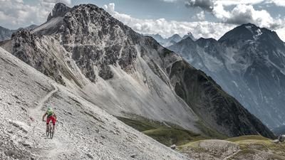
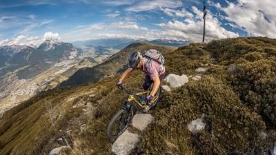
The descent begins directly and offers a mixture of S2 and S3 passages. The trail rides over classic limestone, roots and forest floor, interspersed with hairpin bends and some key sections. After the passage on the Kiechlberg, the route continues to be varied with similar difficulty before a short gravel section follows. The last few meters lead over further trail sections down towards Rum, which leave nothing to be desired. A short transfer on the Rumerweg finally takes you back to Thaur.
All in all, a technically interesting and varied tour, but one that should be undertaken outside of weekends and the main travel and vacation season.
Note: The route is located on Austrian territory and leads over routes that are not approved for mountain bikers. Riding this route on a mountain bike is the responsibility of each individual, in full awareness of the legal situation.
Map & GPX-Track
The map is only available to Ride subscribers.
The Ride-Subscription is available at ride-mtb.com/abo
.
Details of the tour
15 km
890 m
890 m
631 above sea level
1528 above sea level
Thaur
Thaur
3409
well suited
More information
More tours nearby





User comments (0)

About the author: Martin Depauli
Note: This content has been automatically translated from German. Please report any incorrect translations.