

Hoher Burgstall – Starkenburger Hütte

Description
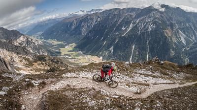
The tour starts in the front Stubai Valley near Fulpmes. This starting point is easily accessible both by car and by public transport such as the Stubai Bahn. The route starts directly from here and initially runs along a classic forest road through the ski area. Long serpentines and a seemingly endless traverse take you to the Starkenburger Hütte. Above the vegetation and tree line, there are impressive views of the Stubai Alps, which impress with their Western Alps flair.
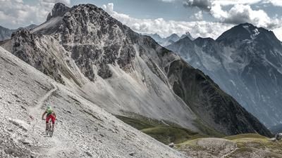
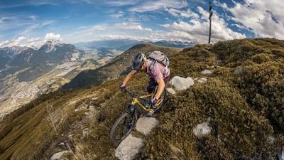
From the Starkenburger Hütte, the only way to continue is by pushing or carrying. The trail rides through avalanche shelters, over serpentines and a sandy, gravelly surface to the highest point of the tour, the Hoher Burgstall (one of the "Seven Summits" of the Stubaital). There are already some key sections on the ascent, which should be closely observed, especially with regard to the later choice of line on the descent, as the summit area is very alpine and exposed.
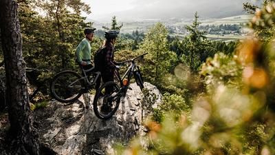
From the summit to the Starkenburger Hütte, the difficulty of the descent is between S3 and S2. The hairpin bend technique is almost essential here, and some pushing passages are unavoidable in the upper section. The Starkenburger Hütte is the perfect place to stop for a bite to eat before continuing the descent. The subsequent trail has the same level of difficulty as the summit section and leads through numerous hairpin bends through larch and spruce forests to the Bachertal retention basin. From there, the trail continues towards Neustift im Stubaital. The way back runs along the Ruetz down into the valley before you finally reach the starting point in Fulpmes.
Tips:
- The tour should ideally not be undertaken at weekends or during the main tourist season, as the Starkenburger Hütte is very busy.
- The upper section is very susceptible to erosion due to heavy rain and storms, which can significantly increase the difficulty and make some sections difficult to ride.
- The tour is well suited for e-bikers up to the Starkenburger Hütte. However, the further ascent requires you to carry your bike.
Note: The route is located on Austrian territory and leads over routes that are not approved for mountain bikers. Riding this route on a mountain bike is the responsibility of each individual, in full awareness of the legal situation.
Map & GPX-Track
The map is only available to Ride subscribers.
The Ride-Subscription is available at ride-mtb.com/abo
.
Details of the tour
28 km
1610 m
1610 m
908 above sea level
2528 above sea level
Fulpmes
Fulpmes
3373
not suitable
More information
More tours nearby





User comments (0)

About the author: Martin Depauli
Note: This content has been automatically translated from German. Please report any incorrect translations.