

Jagdhütte Larchln – Kranebitten

Description
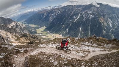
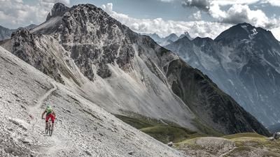
The tour begins just north of Kranebitten and initially rides steadily uphill on asphalt roads, later on gravel paths, in the direction of Rauschbrunnen. At an altitude of around 900 meters above sea level, you reach a pedalable single trail and the Karnweg. Pedaling ends at Rauschbrunnen and the bike has to be carried or pushed. Countless hairpin bends finally take you to the Aspachhütte and on to the Larchln hunting lodge, which lies at an altitude of just under 1750 meters. From this highest point, there is a magnificent panorama towards Hohe Warte in the north and south towards Innsbruck and the Wipptal valley. This is also where the descent begins on a trail that is rated S2 and S3 in the upper section and rides to the Aspachhütte. There are a few key sections to master in this section that require a precise choice of line.
From the Aspachhütte, the route becomes much easier until just above the Rauschbrunnen. Turn right there and follow the path to the Edelweißhütte. You will have to push your bike here for a short time before the rest of the section is between S1 and occasionally S2 in terms of difficulty. From the Edelweißhütte, the tour leads to the Kerschbuchhof and finally over a steep trail, which can be classified as S2, back to Kranebitten to the starting point.
All in all, this is a very varied and challenging tour with the characteristic flair of the Nordkette and the urban ambience of Innsbruck. However, it should be completed outside of the vacation season or ridden anti-cyclically.
Note: The route is located on Austrian territory and leads over routes that are not approved for mountain bikers. Riding this route on a mountain bike is the responsibility of each individual, in full awareness of the legal situation.
Map & GPX-Track
The map is only available to Ride subscribers.
The Ride-Subscription is available at ride-mtb.com/abo
.
Details of the tour
13 km
1010 m
1010 m
661 above sea level
1672 above sea level
1 day
Innsbruck
Innsbruck
3202
not suitable
More information
More tours nearby





User comments (1)

About the author: Martin Depauli
Note: This content has been automatically translated from German. Please report any incorrect translations.
A coherent tour with a well-chosen ascent and descent. The big but is that the last segment from the Kerschbuchhof into the valley not only leads over a hiking trail that is not permitted in Austria, but the trail is explicitly closed to bikers with a very clear prohibition sign. Ignoring this requires a good dose of chutzpah. Better to find an alternative route into the valley.