

Archbrandköpfl
Description
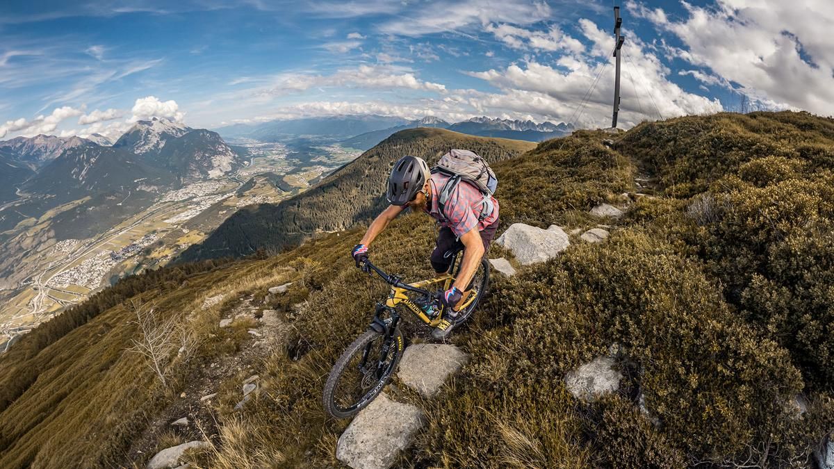
The tour starts in Inzing. From here, the official mountain bike trail—a gravel path—climbs very steeply and covers a significant elevation gain up to the Inzinger Alm. In theory, it’s possible to take a shuttle almost all the way to the Alm, since the road is open to traffic in the summer. Otherwise, you’ll have to pedal your way up the gravel path, gaining elevation meter by meter. The Inzinger Alm is a working alpine hut and makes for a great place to stop for a break. From there, the route continues very steeply, past the Galtalm and on to the Hochleger. Just below the Rauer Kopf, the route crosses the flank and then joins the ridge at the trail descent at the tour’s highest point, just under 2,100 meters above sea level. The view extends to the Wetterstein Mountains, the Karwendel, the Nordkette, and the Stubai Alps, especially the Kalkkögeln.
The descent then begins along the ridge to the Archbrandköpfl or the cross at S2 difficulty, with occasional S3 sections. From the cross, the route becomes somewhat more challenging, with mostly S3 difficulty expected and the need for kick-turn technique. Near the Archbrandhütte, the trail becomes smoother again and ranges between S1 and S2 all the way to the Weiler Hof. The descent is impressive and smooth in parts, and is also relatively long due to the elevation gain. From the Weiler Hof, the route continues toward Mühltal; the final trail shortcuts lead very smoothly back to the starting point. Note: The route is located on Austrian territory and includes sections that are not open to mountain bikers. Riding this route on a mountain bike is done at your own risk and with full knowledge of the legal situation.
Note: The route is located on Austrian territory and leads over routes that are not approved for mountain bikers. Riding this route on a mountain bike is the responsibility of each individual, in full awareness of the legal situation.
Map & GPX-Track
The map is only available to Ride subscribers.
The Ride-Subscription is available at ride-mtb.com/abo
.
Details of the tour
19 km
1380 m
1380 m
655 above sea level
2025 above sea level
1 day
Inzing
Inzing
3799
well suited
More information
More tours nearby





User comments (0)

About the author: Martin Depauli
Note: This content has been automatically translated from German. Please report any incorrect translations.