

Innsbruck-Umrundung

Description
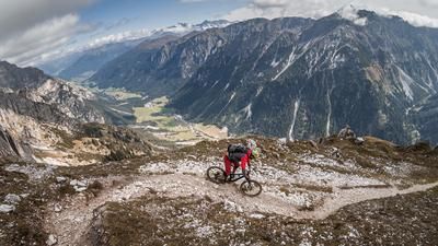
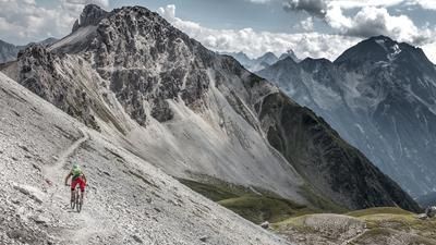
The starting point of the route is the city center of Innsbruck. It starts with a ride to the cemetery on the southern outskirts of the city, where the ascent up to Lans is on the program. This ends on the Viller Kopf, a well-known destination for mountain bikers in Innsbruck. This is easy to see from the well-worn downhill trail. The steep start over a large root carpet is the beginning of the descent back to the city. This is flowy, agile and well frequented. However, you are on a trail that is not officially built, let alone authorized. It is the usual route taken by local mountain bikers when they ride back into town from Viller Kopf. The descent of this first section of the tour ends at the Inntal highway.
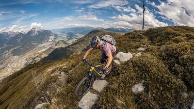
The second part is next and with it the route up to Plumesköpfl. You pass the impressive Bergisel ski jump and climb up a mix of asphalt, gravel and trail to the inconspicuous culmination point at the transmitter antenna. Here begins the second trail down into the city center with a similar character to the previous one from Viller Kopf: fun, flowy, agile, illegal. Here, too, you can see from the trail that it is well frequented by mountain bikers.
After returning to the city, the southern slopes opposite Innsbruck are on the agenda. To do this, you pass through the Wilten district and head up to the Kollandbrunnen fountain in the Hötting district. The route would actually ride into the Hofwald Trail later on. However, as this has been closed (as of 2023), you now take one of the many other (unofficial) trails down to the outskirts of the city. The trail character has now changed: The trail is more solidly built, but narrow and challenging, interspersed with tight switchbacks every now and then. It is one of the many options used by local mountain bikers in the "Höttinger Hills". Finally, you reach the first houses in the Sadrach district, where the fourth section of the tour awaits.
This fourth section includes the Arzler-Alm Trail. You climb up a gravel road to the Hottinger Bild chapel and then on to the Umbrüggler Alm. This is on the way to the Arzeler Alm, the starting point of the (official) MTB trail of the same name. This winds for 3.5 kilometers through the southern flanks of Innsbruck, ends at the district of Mühlau and forms the end of the Innsbruck circuit. Now you roll along the Inn back to the city center.
Note: The route is located on Austrian territory and leads over routes that are not approved for mountain bikers. Riding this route on a mountain bike is the responsibility of each individual, in full awareness of the legal situation.
Map & GPX-Track
The map is only available to Ride subscribers.
The Ride-Subscription is available at ride-mtb.com/abo
.
Details of the tour
37 km
1450 m
1450 m
568 above sea level
1212 above sea level
1 day
Innsbruck
Innsbruck
2931
well suited
More information
More tours nearby





User comments (1)

About the author: Thomas Giger
Note: This content has been automatically translated from German. Please report any incorrect translations.
The Hofwaldtrail is now available again in a slightly modified form. 21.03.2024