

Hafelekarspitze – Götheweg

Description
The tour starts on Hallerstraße by the Mühlauer Brücke bridge. Due to a road closure in the fall of 2024, the first section rides along the Höhenstraße to the valley station of the Hungerburgbahn cable car. From there, you follow the official cycle route on gravel, which rides with a seemingly endless uphill to the Seegrube. At 1900 meters above sea level, there is an impressive panorama of the Inn Valley and the main Alpine ridge.
From the Seegrube, the bike is shouldered. The steep serpentine path up to the Hafelekarspitze contains a key section, but it is secured by ropes and is easily manageable for mountain bikers with alpine experience. The summit of the Hafelekarspitze, which is marked by a few steps in the upper section, marks the highest point of the tour at 2334 meters above sea level and offers a panoramic highlight that is second to none.
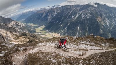
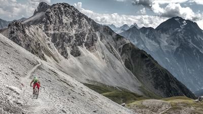
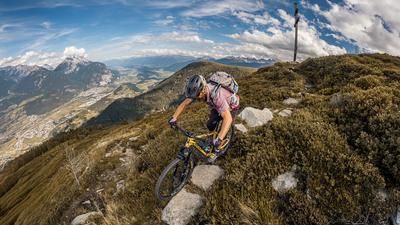
From the Hafelekarspitze, the descent begins on an alpine trail carved into the rock. The trail is predominantly difficulty level S2, but should be ridden with caution due to the exposed route. The trail leads past the so-called Jöchl, where there is a short counter-climb, and continues over the Mühlkarscharte near the Mandlspitze. This section impresses with its spectacular layout and unique views of the Zugspitze. After another short ascent, you reach the Mandlscharte and follow the alpine path towards the Arzler Scharte. This section demands technical skill with difficulty S2 to S3 on limestone and loose gravel.
There are two descent options at the Arzler Scharte:
- Arzler Reise: A big-mountain-style gravel descent
- Direct descent: a technically challenging trail with difficulty S3, occasionally S4, which is heavily dependent on the weather and requires a clean line choice.
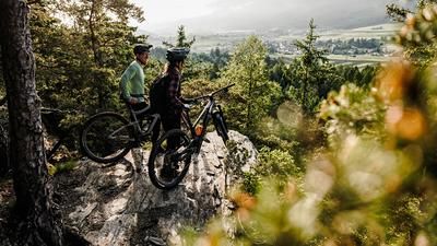
At around 1150 meters above sea level, you come across a forest road again, which you cross in the direction of Arzler Alm. This is where the man-made Arzler Alm Trail begins, which offers a varied mix of flowing passages, steep steps and jumps with difficulty level S2. This trail leads directly back to the starting point.
Tips:
- The uphill can be shortened by using the Hungerburgbahn and Seegrubenbahn cable cars.
- Due to the high volume of hikers, the tour should be completed outside the main holiday season or on weekdays.
Note: The route is located on Austrian territory and leads over routes that are not approved for mountain bikers. Riding this route on a mountain bike is the responsibility of each individual, in full awareness of the legal situation.
Map & GPX-Track
The map is only available to Ride subscribers.
The Ride-Subscription is available at ride-mtb.com/abo
.
Details of the tour
28 km
1765 m
1765 m
571 above sea level
2275 above sea level
Innsbruck
Innsbruck
3372
not suitable
More information
More tours nearby





User comments (0)

About the author: Martin Depauli
Note: This content has been automatically translated from German. Please report any incorrect translations.