

Hofwald-Trail Innsbruck

Description
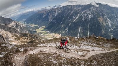
The circular tour starts in the district of Hötting near Innsbruck. Initially on asphalt, later on gravel, the route climbs steadily for around 250 meters. Shortly after the Höttinger Bild, you reach the trail entrance. From here, there is a panoramic view over Innsbruck, the Stubai Alps and the surrounding mountains - a scenic delight even before the descent.
The trail descent is at difficulty level S2 throughout and can be ridden smoothly, elegantly and at a good pace on dry surfaces. In wet conditions, the middle section in particular, as well as the final section with berms and earthy ground, is much more technically challenging. The trail ends directly at the starting point of the tour - an ideal way to complete the loop.
The descent can also be perfectly combined with the "Larchln Aspachhütte" tour. The Bärfallweg is recommended as a transfer route.
Map & GPX-Track
The map is only available to Ride subscribers.
The Ride-Subscription is available at ride-mtb.com/abo
.
Details of the tour
5 km
230 m
230 m
691 above sea level
941 above sea level
Innsbruck
Innsbruck
3464
well suited
More information
More tours nearby





User comments (0)

About the author: Martin Depauli
Note: This content has been automatically translated from German. Please report any incorrect translations.