

Gänsekragen - Penser Joch

Description
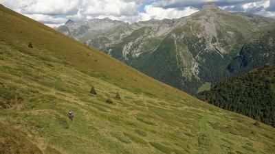
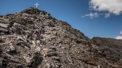
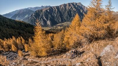
The starting point is the village of Pens at the very back of the Sarntal valley. From here, the route climbs up the Penser Joch road on asphalt to the Penser Joch pass. Above the tree line, you have a fabulous view of the Sarntal Alps from start to finish. At the Penser Joch (2211 meters above sea level), the last 100 meters up to the summit of the Gänsekragen are covered by pushing or carrying. From here, the view extends northwards to the Gschnitzer Tribulaun, the southern Wipptal and southwards to the entire Sarntal Alps. You even have a fantastic view of the Hochpustertal valley.
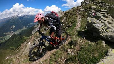
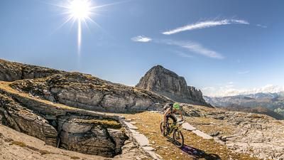
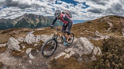
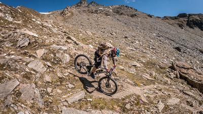
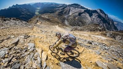
The descent is also a dream. Directly from the summit, the route partly follows historic, old military paths to the pass. Difficulty level S2 is the norm here. From the pass itself, the route continues in the same manner. In places S3, otherwise S2, back to the small village of Asten. From Asten, you then roll comfortably along the valley path to the starting point in Pens.
Map & GPX-Track
The map is only available to Ride subscribers.
The Ride-Subscription is available at ride-mtb.com/abo
.
Details of the tour
17 km
805 m
805 m
1459 above sea level
2268 above sea level
1 day
Pens
Pens
2509
limited
More information
More tours nearby






























User comments (0)

About the author: Martin Depauli
Note: This content has been automatically translated from German. Please report any incorrect translations.