

Schneetalscharte

Description
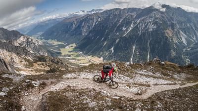
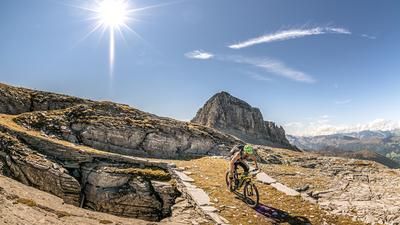
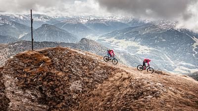
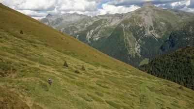
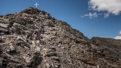
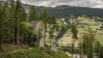
The tour starts in Steinach am Brenner at the parking lot of the Bergeralmbahn valley station. From here, the route follows the idyllic Gschnitzbach stream via Trins to Gschnitz and on to Obertal. The roll-in phase is characterized by lush panoramic views and every metre you ride into the Gschnitztal valley, it gets quieter. In Obertal, take the forest road in the direction of Sandestal and follow it on a medium and later steep gradient to the Tribulaunhütte. If you want, you can take a short break here, but don't leave too much time, as the steep ascent begins here. From the hut at 2050 meters above sea level to the saddle 600 meters higher up, the bike has to be pushed and carried. A moderately steep path winds its way uphill along the gravel gullies. However, the last ascent just before the saddle, i.e. the last 150 meters or so, is a tough one. Sliding gravel again and again, sometimes ankle-deep gravel makes the steps difficult - but then the happiness at the saddle is all the greater when you reach it. An extreme view and a huge panorama open up when you stand between the Gschnitzer and Obernberger Tribulaun peaks.
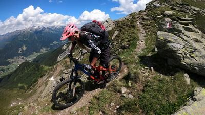
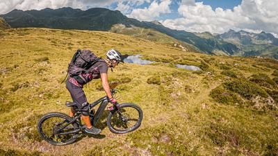
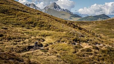
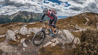
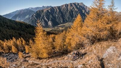
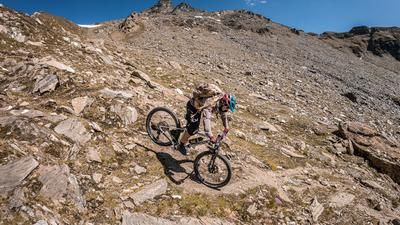
The view to the south on the Italian side reveals a lot: fragments show that this is a historical path from the Vallo Alpino. This in turn usually means downhill fun with endless meters of trail. The first 200 meters or so of altitude difference are still at S3 to S4 level, after which you descend the basin to the tree line on an S2 to S3 trail. From here, the difficulty becomes easier again and can be declared at a difficulty of S1 to S2, so you surf down an endless trail to Innerpflersch (St. Anton). In total, over 1300 Elevation loss trails are destroyed in one go before you arrive in the small village. On summer days, we recommend cooling off in the Pflerschbach, as it offers crystal-clear water and countless pools.
Continue along the valley paths and later the trail up the valley to Ast. From here, turn left onto the old Brenner railroad line and pedal at a constant gradient to the Brenner Pass. At the Brenner itself, we recommend stopping for an apple strudel and a coffee at the Brennerhaus market bar. This small but excellent coffee house is a benchmark when it comes to refreshments for bikers. After that, the route from the Brenner Pass is no longer spectacular and leads along the old federal road with a constant downhill gradient to Steinach am Brenner. Conclusion: All in all, an incredible crossing and one of the few opportunities to cross the Tribulaun. Probably one of the most beautiful descents in the entire Alpine region in terms of the panorama.
Note: The route is located on Austrian territory and leads over routes that are not approved for mountain bikers. Riding this route on a mountain bike is the responsibility of each individual, in full awareness of the legal situation.
Map & GPX-Track
The map is only available to Ride subscribers.
The Ride-Subscription is available at ride-mtb.com/abo
.
Details of the tour
60 km
1890 m
1890 m
1049 above sea level
2588 above sea level
1 day
Steinach am Brenner
Steinach am Brenner
2036
not suitable
More information
More tours nearby













































User comments (0)

About the author: Martin Depauli
Note: This content has been automatically translated from German. Please report any incorrect translations.