

Trunajoch - Panorama-Trail

Description
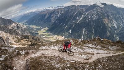
The starting point of the tour is the parking lot at the Bergeralmbahn in Steinach am Brenner. From here it feels like a movie from "Lord of the Rings" along the Gschnitzbach to Trins. From Trins, you pedal along a classic forest highway on an official cycle route idyllically and steadily up through the forest, past the Trunahütte hut almost as far as the Trunajoch. The last few meters in altitude have to be mastered by pushing before you arrive at the Trunajoch and have a breathtaking view of the peaks of the Zillertal main ridge, over the Lichtsee lake, to the Tribulaun massif.
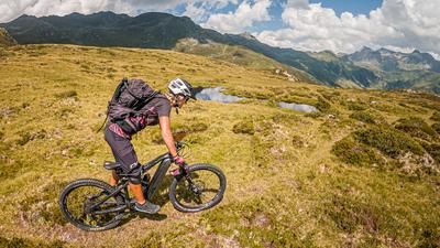
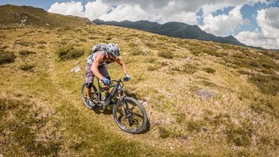
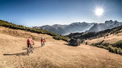
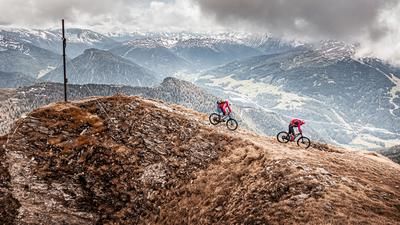
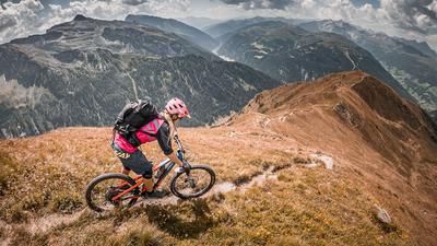
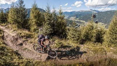
The reward is not only this breathtaking mountain panorama, but also a full trail descent. It goes on difficulty S2 to the Lichtsee lake. This is in a very idyllic setting and offers a fantastic mountain panorama. From the Lichtsee lake, the route climbs a few meters in altitude before meandering along a fabulous panoramic trail towards Eggerjoch. This trail is very varied and rides above the tree line - a real dream, especially in autumn when the alpine roses and mountain flowers are in full color. From the Eggerjoch, the trail continues in the same manner. The trail finally ends at the former lift station, briefly on a gravel road, before you then follow a natural trail on difficulty S2 to S3. This in turn ends directly at the Bergeralmbahn, where the official bike park route begins as the "Red Devil" or "Crazy Heart". Free choice of lines is the motto here and you can look forward to a fantastic descent back to the starting point at the end on difficulty levels S1 to S2, occasionally S3.
Note: The route is located on Austrian territory and leads over routes that are not approved for mountain bikers. Riding this route on a mountain bike is the responsibility of each individual, in full awareness of the legal situation.
Map & GPX-Track
The map is only available to Ride subscribers.
The Ride-Subscription is available at ride-mtb.com/abo
.
Details of the tour
26 km
1100 m
1100 m
1067 above sea level
2165 above sea level
1 day
Steinach am Brenner
Steinach am Brenner
2646
well suited
More information
More tours nearby











User comments (1)

About the author: Martin Depauli
Note: This content has been automatically translated from German. Please report any incorrect translations.
First half up to Eggerjoch a little blocked and washed out, then more and more flowy. The ascent to the Nösslachjöch via the west ridge and down south to the original track is very rewarding! Unfortunately, the routes in the bike park are no longer maintained and the entrances are blocked. Better down via WW!