

Naviser Hüttenrunde

Description
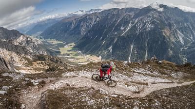
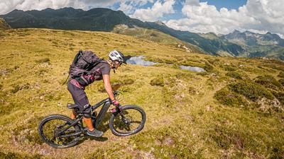
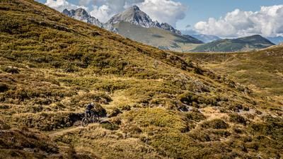
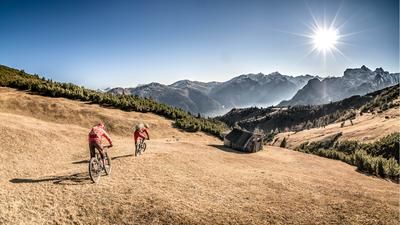
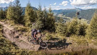
The tour starts in Navis. From here, it is a relaxed ride along the Navis stream and then the official Navis Almtal circuit. On a classic forest highway, you wind your way up hairpin bends and soon find yourself above the tree line with a fantastic view of the surrounding mountains. The first stage destination, the Klammalm, is reached after almost 600 meters in altitude. The mountain hut is open in summer and offers culinary highlights as well as great views. The first trail section begins here. A varied trail with a difficulty level of S2, S3 in places, leads down to the Poltnalm on sandy, rocky ground through lush alpine meadows, which is classic for the region. The Poltnalm is also farmed. The route then continues briefly on a steep forest road to the Naviser Hütte before entering the next trail with difficulty level S2 and following it steadily down to the Naviser Bach stream. You can put your skills to the test here on root sections and flowing passages. From Naviser Bach, you then roll back to the starting point in a relaxed manner.
Note: The route is located on Austrian territory and leads over routes that are not approved for mountain bikers. Riding this route on a mountain bike is the responsibility of each individual, in full awareness of the legal situation.
Map & GPX-Track
The map is only available to Ride subscribers.
The Ride-Subscription is available at ride-mtb.com/abo
.
Details of the tour
16 km
640 m
640 m
1341 above sea level
1977 above sea level
1 day
Navis
Navis
2748
well suited
More information
More tours nearby














User comments (0)

About the author: Martin Depauli
Note: This content has been automatically translated from German. Please report any incorrect translations.