

Bendelstein

Description
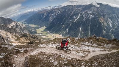
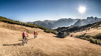
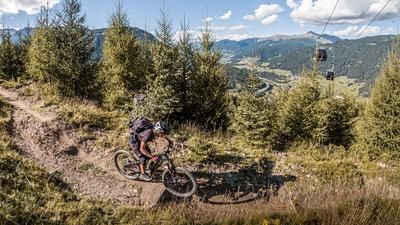
Start in Steinach am Brenner. Initially, the route is idyllic and relaxed as it climbs steadily through the forest. A gravel road rides through larch forests until you reach Issmähder. There is a small wooden hut here, where the trail then runs relatively steeply uphill through mountain pines. Here the bike is pushed along and at the height of Schröflkogl you have breathtaking views from the small hut. The scenery improves meter by meter before you reach the Bendelstein. At almost 2500 meters above sea level, the isolated location of the summit offers a magnificent view.
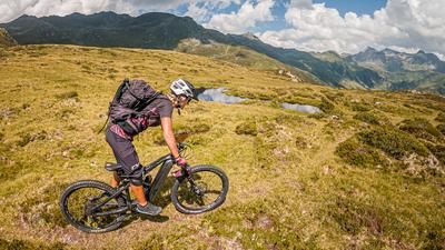
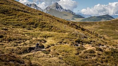
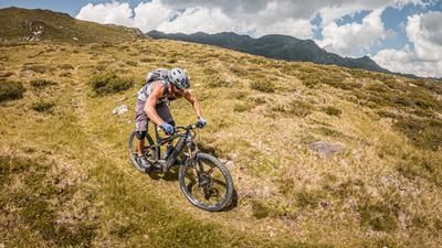
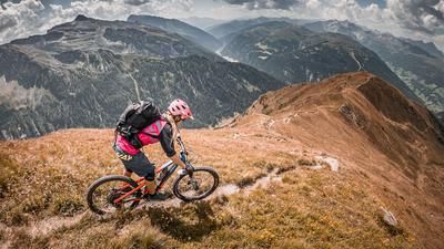
The descent begins with difficulty S2 to S3, then changes to S1 to S2. The upper part is fantastic to ride and very epic. This is a particular highlight in autumn, when the forests and alpine roses are in full color. The lower section is a direct descent through the forest. Afterwards, you take a small detour towards Sigreith, where the Padastertal landfill is being built in the meantime by the Brenner Base Tunnel, and then roll back to the starting point of the tour in a relaxed manner.
Note: The route is located on Austrian territory and leads over routes that are not approved for mountain bikers. Riding this route on a mountain bike is the responsibility of each individual, in full awareness of the legal situation.
Map & GPX-Track
The map is only available to Ride subscribers.
The Ride-Subscription is available at ride-mtb.com/abo
.
Details of the tour
20 km
1325 m
1325 m
1055 above sea level
2385 above sea level
1 day
Steinach am Brenner
Steinach am Brenner
3123
limited
More information
More tours nearby









User comments (1)

About the author: Martin Depauli
Note: This content has been automatically translated from German. Please report any incorrect translations.
Very limited number of parking spaces. Travel by public transport - especially train is recommended.
PLEASE OBEY THE RULES - NO BRAKING with blocked tires, ride CAREFULLY - pedestrians have the right of way, and stay on the paths ... Otherwise the ban will be checked and enforced faster than we would like.