

Pfoner Kreuzjöchl

Description
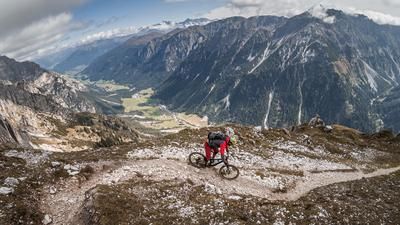
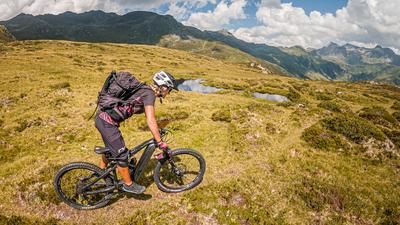
The starting point of the tour is Matrei am Brenner. From here you can start relaxed at the train station. Initially on asphalt, the route continues steadily uphill on a gravel road with a few hairpin bends in the forest to the Pfoner Ochsenalm (2160 meters above sea level). From an altitude of around 1900 meters above sea level, you leave the wooded area and already have a panorama deluxe before your eyes. Pedaling finally comes to an end at the Pfoner Ochsenalm. From here, the bike is pushed or carried over the back up to the Pfoner Kreuzjöchl. At the highest point of the tour at almost 2,700 meters above sea level, you can spend a while and deepen your mountain knowledge, as the panorama offers a fabulous all-round view of the most striking peaks of the main Alpine ridge.
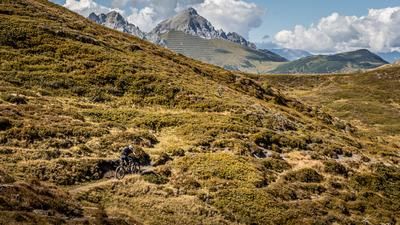
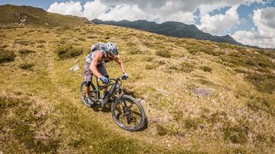
The trail descent is also legendary. At difficulty level S2, occasionally S3/S4 (depending on weather conditions), the trail descends steadily towards the Seapnalm. The trail should not be underestimated. Due to deep gullies and blocked stones caused by erosion, full concentration and body tension are required here. After crossing the forest road, the trail becomes somewhat smoother and continues at difficulty levels S1 to S2. In the following section, the level remains at S2 and you meander continuously down to an altitude of just under 1600 meters above sea level. After that, there is a short counter-climb before you tackle the last few meters of trail to the valley floor. The route then follows a gravel road along the valley floor towards Wipptal before cycling back to the starting point in Mühlen.
Note: The route is located on Austrian territory and leads over routes that are not approved for mountain bikers. Riding this route on a mountain bike is the responsibility of each individual, in full awareness of the legal situation.
Map & GPX-Track
The map is only available to Ride subscribers.
The Ride-Subscription is available at ride-mtb.com/abo
.
Details of the tour
31 km
1680 m
1680 m
985 above sea level
2603 above sea level
1 day
Matrei am Brenner
Matrei am Brenner
2620
not suitable
More information
More tours nearby











User comments (0)

About the author: Martin Depauli
Note: This content has been automatically translated from German. Please report any incorrect translations.