

Mislkopf

Description
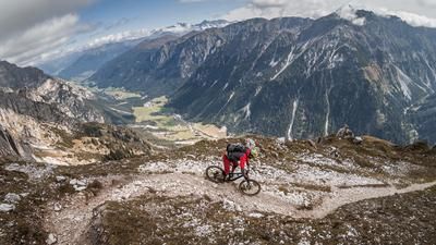
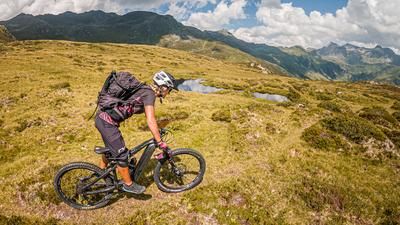
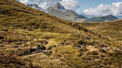
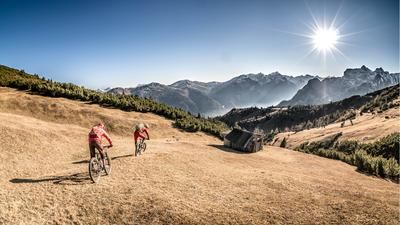
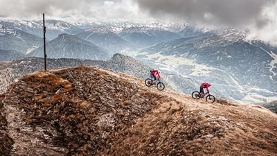
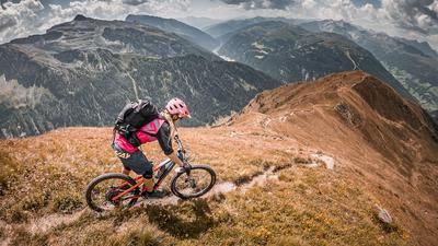
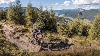
Start on the road towards Navis at the Navis Wegscheid bus stop. From here, the route climbs steadily through the hamlets and the Stipplerkapelle chapel before switching from asphalt to gravel and taking the path towards Mislalm. From the Mislalm, the route then continues on the official Misljoch Trail single trail, whereby at an altitude of around 2050 m above sea level, the route takes a left turn over the ridge to the Misljoch. From this point, the bike has to be pushed or carried upwards, where you finally reach the highest point of the tour, the Mislkopf, at an altitude of around 2623 m above sea level. With good visibility and dry air, the view is fabulous and almost impossible to describe in words. The same can be said for the descent. On a mix of S2, S3 and occasionally S1, the route descends again to the Misljochtrail single trail. From here, you cross it past the Hirschstein before turning right onto the single trail at the Pfonder Kreuzjöchl hiking trail and following it steadily downhill to an altitude of approx. 1650 m. The descent here is between S1 and S2, with S3 passages as well. Very varied and challenging. Once you reach the feeder road, the route continues a little further across the Peeralmbach stream to the next trail, Abschneider. This is another single trail with a similar categorization. The final section takes you to the opposite side of the valley before you take the last few meters of trail and roll out to Navis and then on to the starting point.
Note: The route is located on Austrian territory and leads over routes that are not approved for mountain bikers. Riding this route on a mountain bike is the responsibility of each individual, in full awareness of the legal situation.
Map & GPX-Track
The map is only available to Ride subscribers.
The Ride-Subscription is available at ride-mtb.com/abo
.
Details of the tour
23 km
1300 m
1300 m
1270 above sea level
2582 above sea level
1 day
Matrei am Brenner
Matrei am Brenner
2745
not suitable
More information
More tours nearby











User comments (0)

About the author: Martin Depauli
Note: This content has been automatically translated from German. Please report any incorrect translations.