

Sumpfkopf

Description
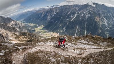
The tour starts in St. Jodok am Brenner in the northern Wipptal valley. From here, the route leads steadily uphill along the Schmirnbach stream on asphalt and then continues along the serpentine path via Ausserschmirn. Passing the Edelrauthe snack station, you pedal further and further uphill and finally switch from asphalt to gravel before shouldering your bike after the Winkl hut, which already offers a magnificent panorama, and carrying it over the avalanche barriers over the Olperer up to the Sumpfkopf.
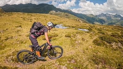
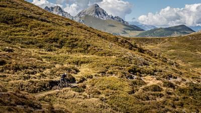
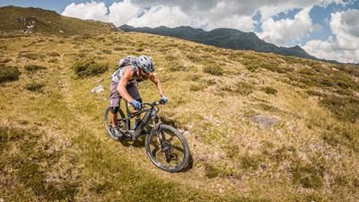
It's time for a great descent. Partly on meadow areas, partly on washed-out sections, the route descends steadily. Difficulty level is S2. At Hochgenein, the trail then becomes more serpentine, remains at the same difficulty level and then rides through larch forests to Schmirn-Leite and back to St. Jodok am Brenner.
Map & GPX-Track
The map is only available to Ride subscribers.
The Ride-Subscription is available at ride-mtb.com/abo
.
Details of the tour
15 km
1115 m
1115 m
1143 above sea level
2268 above sea level
1 day
St. Jodok
St. Jodok
3124
not suitable
More information
More tours nearby











User comments (0)

About the author: Martin Depauli
Note: This content has been automatically translated from German. Please report any incorrect translations.