

Blaser – Südabfahrt

Description
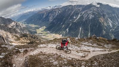
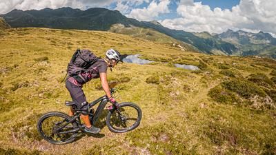
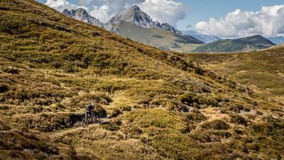
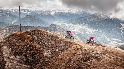
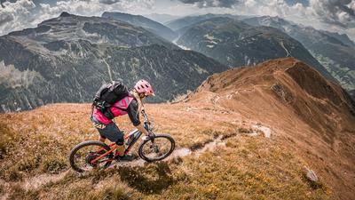
The tour starts in Steinach am Brenner. The official cycle route into the Gschnitz Valley starts here and runs along the idyllic and moderate Gschnitzbach stream. In Trins, you then continue on the official cycle route to the Blaser Hütte and pedal uphill on gravel. At an altitude of around 1800 meters above sea level, you reach the Zwieselmähder: a dreamlike area on the ridge with a view of the Tribulaun. This is a fabulous setting and offers magnificent mountain scenery. The route continues to the end of the forest road and then follows a finely laid out single trail that is easy to pedal uphill. Past the Blaser Hütte, you have only a few meters to the highest point of the tour, the Blaser summit (2241 meters above sea level).
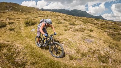
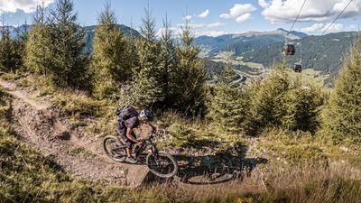
The descent follows the ascent trail past the Blaser Hütte on difficulty levels S1 to S2. The route then follows the gravel road through the forest in the same style, especially in the lower section through the larch forests. The descent is a real pleasure. Once you arrive in Trins, you can take small and fine trail cut-offs and roll back to the starting point. Alternatively, you can also descend along the valley stream, the direct route down is called Blasersteig. This has an S3 level
.
Note: The route is located on Austrian territory and leads over routes that are not approved for mountain bikers. Riding this route on a mountain bike is the responsibility of each individual, in full awareness of the legal situation.
Map & GPX-Track
The map is only available to Ride subscribers.
The Ride-Subscription is available at ride-mtb.com/abo
.
Details of the tour
24 km
1215 m
1215 m
1047 above sea level
2206 above sea level
1 day
Steinach am Brenner
Steinach am Brenner
3067
well suited
More information
More tours nearby











User comments (1)

About the author: Martin Depauli
Note: This content has been automatically translated from German. Please report any incorrect translations.
There is a large sign right next to the hut stating that driving on the summit is prohibited! In the area of the Blaser there is a nature reserve with a splendor of early bloom that is second to none.
At the same time, paths have been cleared for mountain bikers and the trails are still not petty, which is not the rule in Tyrol at the moment.
The summit offers nothing in terms of riding, you have the same view as at the hut, you walk up for about 15 minutes and the bikes are in good hands in the bike racks at the hut for the time being!
It's in everyone's interest that we don't pour water on the opponents' mills:
PLEASE ABIDE BY THE BAN ON CYCLING TO THE SUMMIT!!!