

Sattelberg

Description
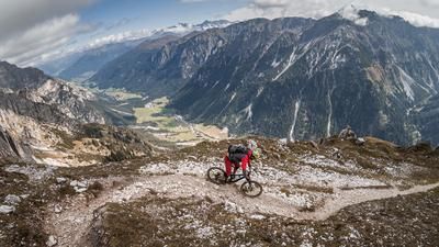
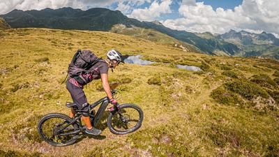
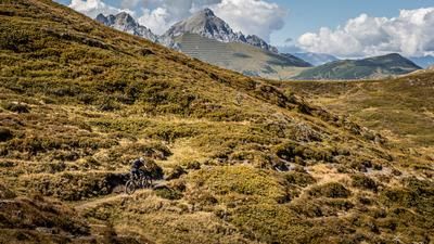
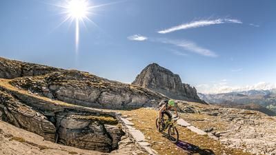
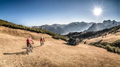
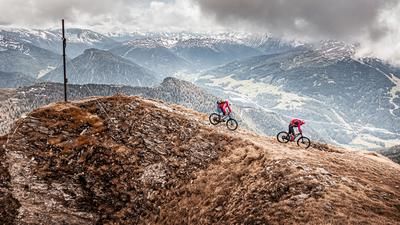
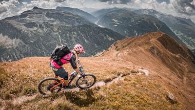
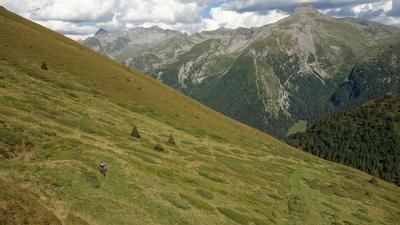
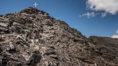
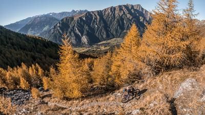
The mountain bike tour starts at the Brenner Pass. First, riders ride along the bike path south toward Gossensaß before turning right onto the forest road—which is moderately steep in places—leading to the Steinalm. Meter by meter, they gain elevation and leave the heavily trafficked Brenner Pass behind, immersing themselves in a truly impressive natural landscape. Even after the alpine pasture, mountain bikers face a moderately steep climb. After passing the old barracks of the Vallo Alpino from World War II, mountain bikers reach the summit of the Sattelberg after just a few more meters. The summit, marked by a huge cross, lies exactly on the border between Austria and Italy. It offers breathtaking panoramic views. Especially in the fall, when the landscape turns colorful, the view is beautiful.
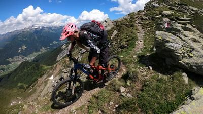
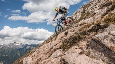
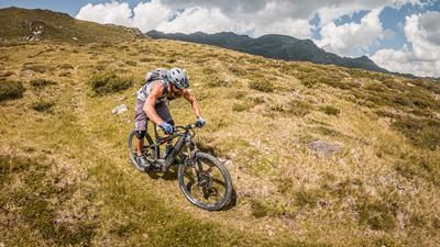
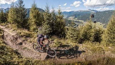
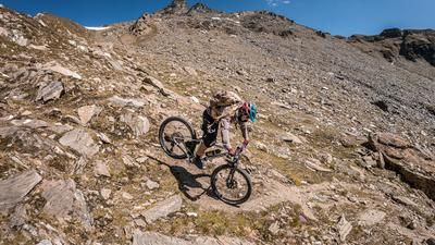
From the Sattelberg, the military road of the defense installations runs southward along the base of Monte Sasso. Then the trail descent begins. On the old mule track with a difficulty rating of S1, the rider rides unhindered downhill, past the former barracks to the Steinalm. They then cross the ascent route once more and begin the second trail section, which, rated S1 with occasional S2 sections, leads directly back to the starting point. There are plenty of culinary options at the Brenner Pass. Shopping opportunities are available on either the Austrian or Italian side, depending on your preference.
Map & GPX-Track
The map is only available to Ride subscribers.
The Ride-Subscription is available at ride-mtb.com/abo
.
Details of the tour
16 km
800 m
800 m
1363 above sea level
2089 above sea level
1 day
Brenner
Brenner
3650
well suited
More information
More tours nearby










































User comments (0)

About the author: Martin Depauli
Note: This content has been automatically translated from German. Please report any incorrect translations.