

Hochfeiler/ Gran Pilastro

Description
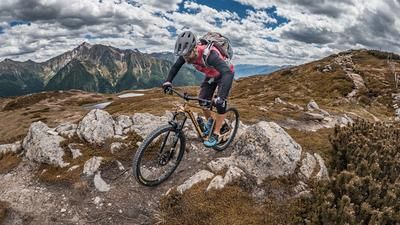
The tour begins with a gentle roll-in from Sankt Jakob along the cycle path, always next to the Rio di Vizze, a beautiful mountain stream - although this idyll is somewhat deceptive, as after the ascent from the military road at an altitude of around 1720 meters above sea level (3 hairpin bends), the bike has to be shouldered - and for a long, long time! At a rather inconspicuous bend in this epic military road, a seemingly endless carrying passage begins, which nevertheless offers a wonderful view of the Weisskarferner and the Gliederferner. Up to the Hochfeiler hut, there are several kilometers and meters of altitude to cover, but the magnificent panorama makes up for all the pain. However, the hut offers the option of splitting the tour into two days and spending the night at the Hochfeilerhütte. However, if you're tough and want to do the mountain in one day, you'll have to go through this and have to master another 800 meters of ascent from the hut at a good 2700 meters above sea level. When choosing a route, make sure that the bike is carried up along the ridge. A detour to the east via the hiking trail is not recommended. Once you reach the summit, you are lost for words, partly because of the thin mountain air at 3509 meters above sea level, and partly because of the magnificent panorama.
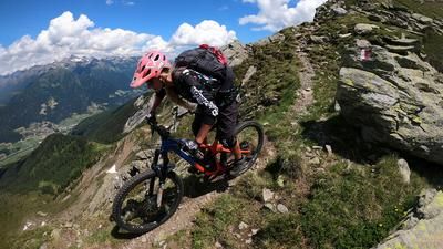
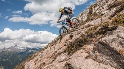
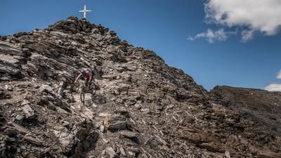
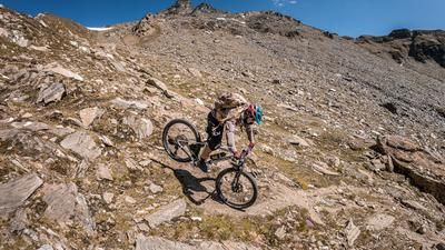
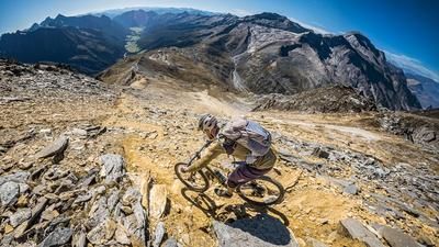
However, you shouldn't linger too long at the summit either, as the descent is endless. The fact that you have already made it all the way up, which you can now ski down, is a huge advantage and the key sections will probably stay in your memory forever. The trail winds its way back to the military road at S2-S4 level. The sections at the top of the ridge and in the middle section in the "Platte" area in particular should be enjoyed with caution. A steel cable is stretched here in places and riding skills and a head for heights are required. If you are not a master of such things, it is better to push your bike here. Those who have made it to the Strada Militare after the endless descent have a short trail detour towards Stein and from there the Hintertalweg back to the starting point. All in all, a very massive, high alpine tour with a western alpine feel. However, you need to be exceptionally fit and have very good riding technique as a prerequisite.
Map & GPX-Track
The map is only available to Ride subscribers.
The Ride-Subscription is available at ride-mtb.com/abo
.
Details of the tour
28 km
2060 m
2060 m
1442 above sea level
3458 above sea level
1 day
San Giacomo
San Giacomo
1967
not suitable
More information
More tours nearby































User comments (0)

About the author: Martin Depauli
Note: This content has been automatically translated from German. Please report any incorrect translations.