

Höllenkragen

Description
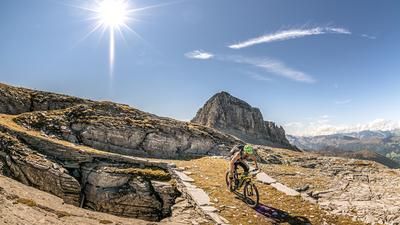
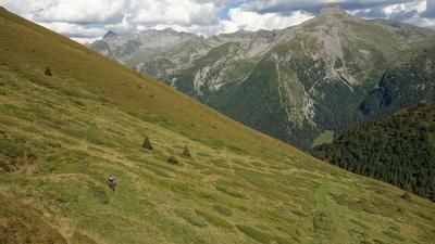
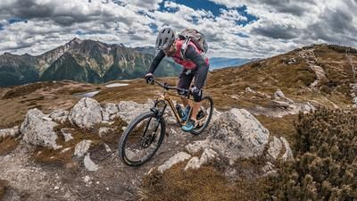
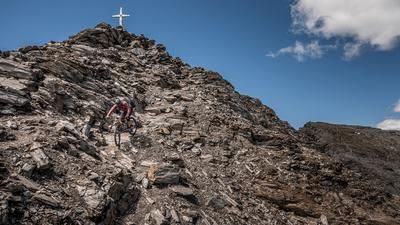
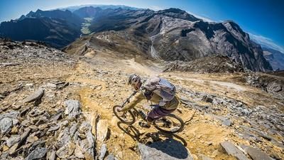
The tour starts in Freienfeld a little south of Sterzing and winds its way up the asphalt road via Partinges and the Plitschalm. At the Plitschalm (1820 meters above sea level) you stop pedalling and start the carrying or pushing section (approx. 500 meters altitude difference). At the Jagerjöchl you break through the tree line and a fantastic mountain panorama opens up, but the heavy rucksack and bike still have to be carried a few meters up to the summit. Once you reach the Höllenkragen, it's time to enjoy the wonderful view and then concentrate fully on the descent.
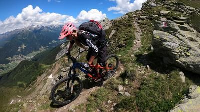
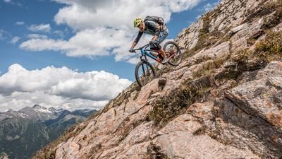
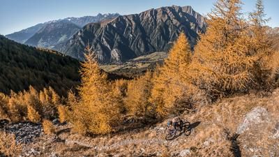
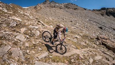
The descent initially heads west and then back to the Plitschalm, with a difficulty level of S2 to S3, although some sections are exposed and require full concentration. From the Plitschalm, you then follow a high-level trail to Gschliessegg (1670 meters above sea level) before turning right towards Schnagge and taking the trail towards Wiesen (960 meters above sea level). On a constant difficulty level of S2, finally S2 to S1, you surf through beautiful forest areas and enjoy the South Tyrolean flair. Once you arrive in Wiesen, you then follow the Pfitscherbach back to Sprechenstein and Freienfeld.
Map & GPX-Track
The map is only available to Ride subscribers.
The Ride-Subscription is available at ride-mtb.com/abo
.
Details of the tour
24 km
1390 m
1390 m
928 above sea level
2327 above sea level
1 day
Freienfeld
Freienfeld
2064
not suitable
More information
No options along the route; several options in Wiesen and Freienfeld
More tours nearby































User comments (2)

About the author: Martin Depauli
Note: This content has been automatically translated from German. Please report any incorrect translations.
That's right, I did it today too, not exactly a highlight in terms of trails either
A somewhat glorified depiction of the ascent. Asphalt ends at Partinges and the ascent to the Plitschalm, which incidentally is not serviced, has a gradient of 25-30% over long stretches on gravel (sometimes loose and deep).